CONSTRUCTION SITE MONITORING
Construction site monitoring involves the continuous oversight and assessment of a construction project to ensure that work progresses as planned. Leveraging tools such as drones, cameras, and sensors, it provides real-time insights into various aspects like safety compliance, resource allocation, and project timelines. This proactive approach aids in promptly identifying and addressing potential issues, ensuring that projects stay on track, within budget, and adhere to quality standards. In today’s digital age, such monitoring is pivotal for enhancing productivity, maintaining safety standards, and facilitating efficient communication among stakeholders.
REVOLUTIONISING CONSTRUCTION WITH UAV TECHNOLOGY

UAV Technology for Construction Monitoring
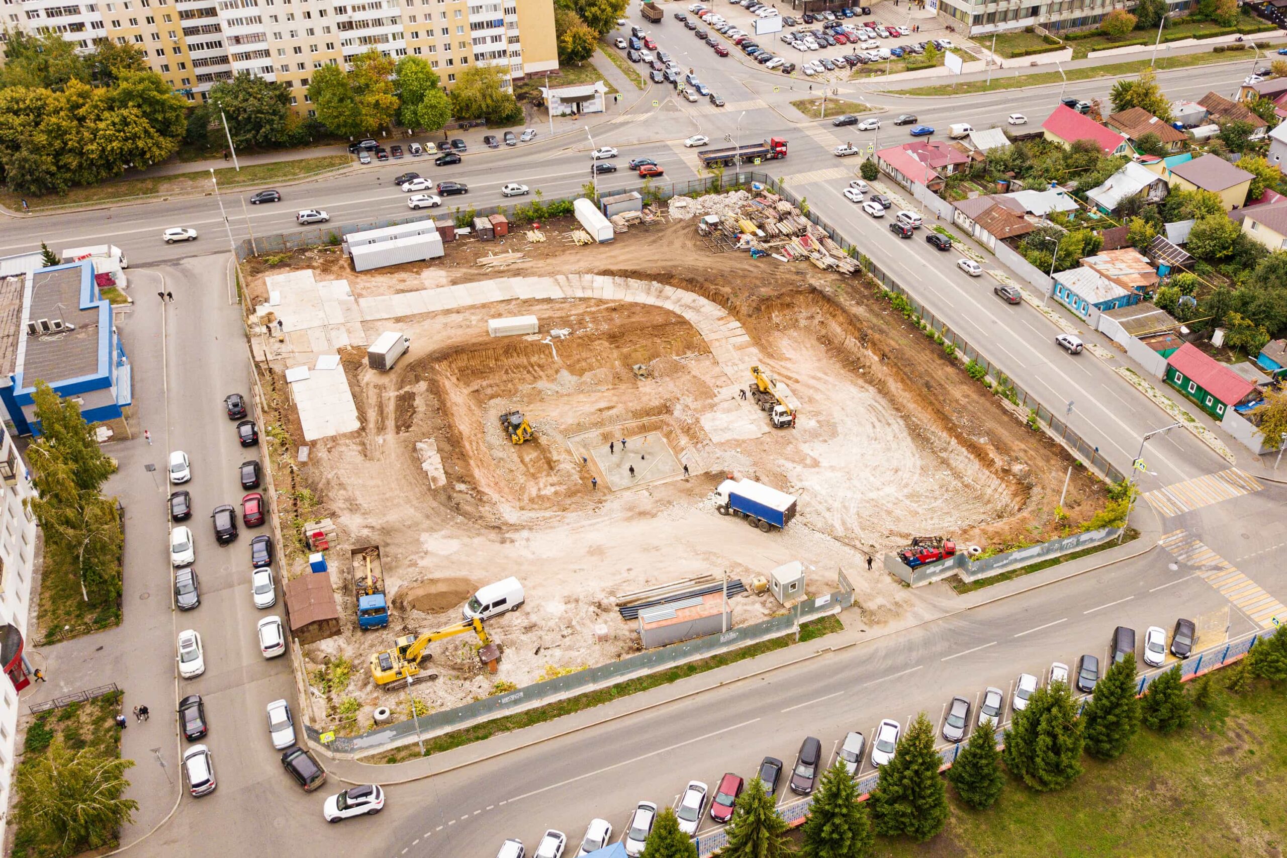
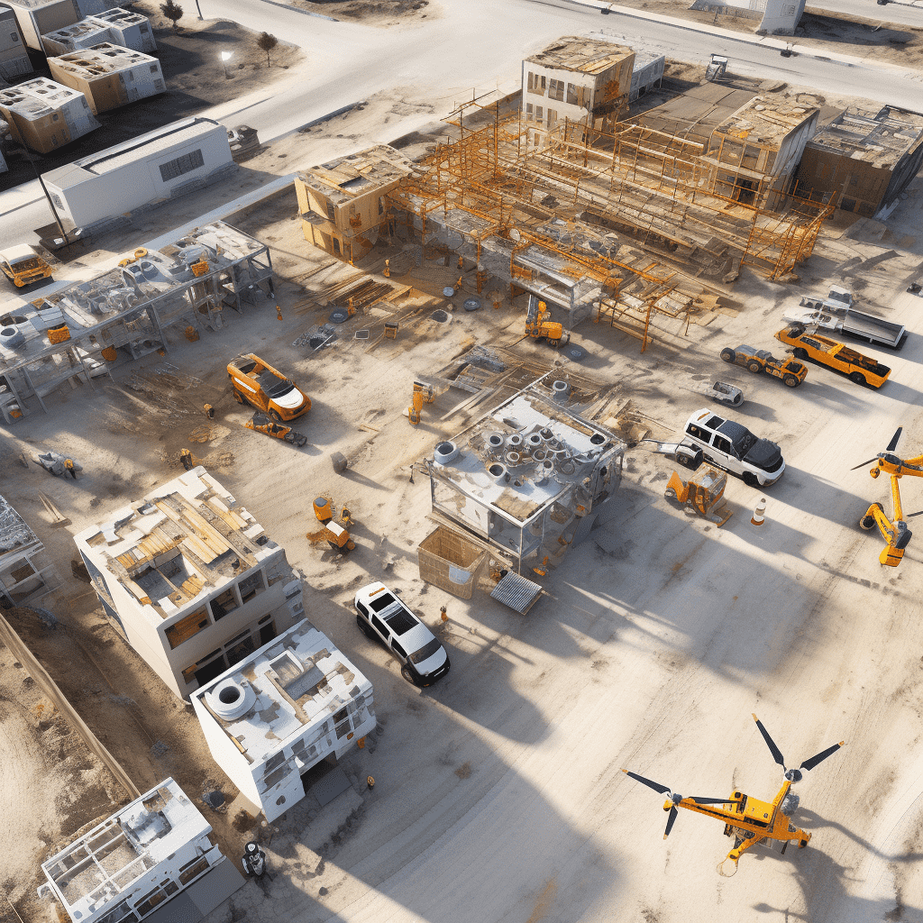
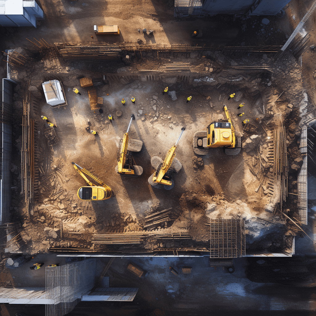
The surge in the drone industry over recent years has not only seen a spike in sales but has also reshaped several sectors, prominently the construction domain. Their integration into construction management has ushered in a new era of precision and efficiency. Weekly aerial mapping of construction sites using drones has become a staple for project managers. Such routine aerial surveys are pivotal for monitoring progress, ensuring safety standards, and real-time quality checks. The aerial perspective offered by drones unveils issues that ground-level evaluations might miss. Additionally, drones’ geotagging functions allow area measurements to be converted into approximate stockpile volumes, aiding swift and informed decision-making.

Digital Visualisation
Job sites’ digital visualisation offers a comprehensive view of construction endeavors in one image, a boon for developers.
Orthomosaic Maps
The creation of orthomosaic maps, formed by stitching together multiple photos, provides a detailed analysis by offering accurate distance measurements.
Rendering 3D Models
The acquired data can be rendered into 3D models, offering a tangible view of the construction site, enriching stakeholders’ understanding of the project. Moreover, drones can generate CAD overlays to ensure the ongoing activities align with the design blueprints.
ADVANTAGES OF INTEGRATING DRONES IN CONSTRUCTION
We transform everyday moments into extraordinary memories. Located in the bustling heart of Brisbane, QLD, our passion lies in harnessing the power of flight to produce awe-inspiring aerial photography and videography that captivates and enthralls.

Oversight & Reporting
High-definition drones have become indispensable for contractors to oversee construction progress. Periodic site assessments lead to top-notch photos and videos captured at flexible intervals. These provide a platform for construction companies to oversee subcontractors, machinery, materials, and stockpile volumes. Additionally, consistent progress updates are pivotal for stakeholder engagement and cost-efficiency. Drones facilitate the creation of detailed reports, inclusive of 3D site models, orthomosaic maps, and other photogrammetric data.

Surveys & Imagery
With GIS progressing hand-in-hand with drone tech, rapid data acquisition is now a reality. Expert drone operators can swiftly collect vital aerial data for photogrammetry without disrupting ongoing site activities. The term “aerial imagery” epitomizes this advancement.

Asset Monitoring
Supervising materials, tools, and inventory on-site is intricate. However, photogrammetry techniques, using drone-captured data, simplify this task, eliminating the need for prolonged on-site hours.

Structural Health Checks
Periodic site assessments, especially concerning elevation, are indispensable. Early detection of structural vulnerabilities averts potential safety issues and staves off potential legal troubles and associated costs.