About us
Built on airspace discipline, not bravado.
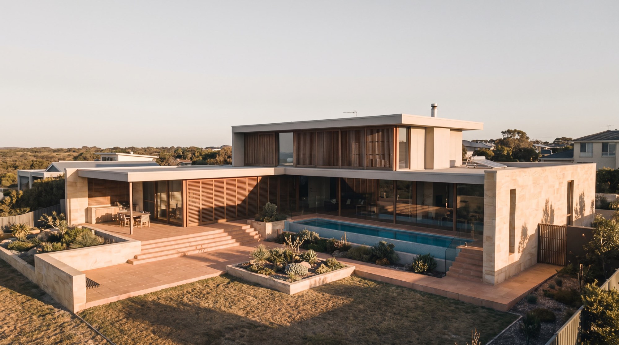
Savage Drone Services flies aerial photography, inspection and mapping jobs across [PLACEHOLDER] e.g. Brisbane & South-East Queensland. Every flight is planned around the airspace at your site first — the imagery and data come second, because they depend on getting the first part right.
Authorisation & standards
We operate under Remote Operator's Certificate [PLACEHOLDER], with Remote Pilot Licence held by our Chief Remote Pilot, [PLACEHOLDER Chief Pilot name].
How we handle footage of people and property
Aerial photography and video can capture people, vehicles and private property that aren't the subject of the job. We take that seriously under the Privacy Act 1988 and the relevant state surveillance device laws.
In practice: we capture footage of the agreed project site only, and take reasonable care to avoid neighbouring private property and activity. Footage is stored securely, used only for the agreed purpose, and not shared with third parties without consent. Clients or affected neighbours can request a review or deletion of footage relating to their property — contact us and we'll action it.
Every booking includes a live airspace check for the site, and any work near a controlled airspace step or aerodrome proceeds only with the relevant CASA approval in place.
The crew
Team profiles — pilot names, RePL numbers and specialisations — [PLACEHOLDER, pending client-supplied bios].
Have a project in mind?
Tell us the site and the job — we’ll confirm the flight plan, airspace and reporting window.