
Drone Inspections
Drone Powerline Inspections
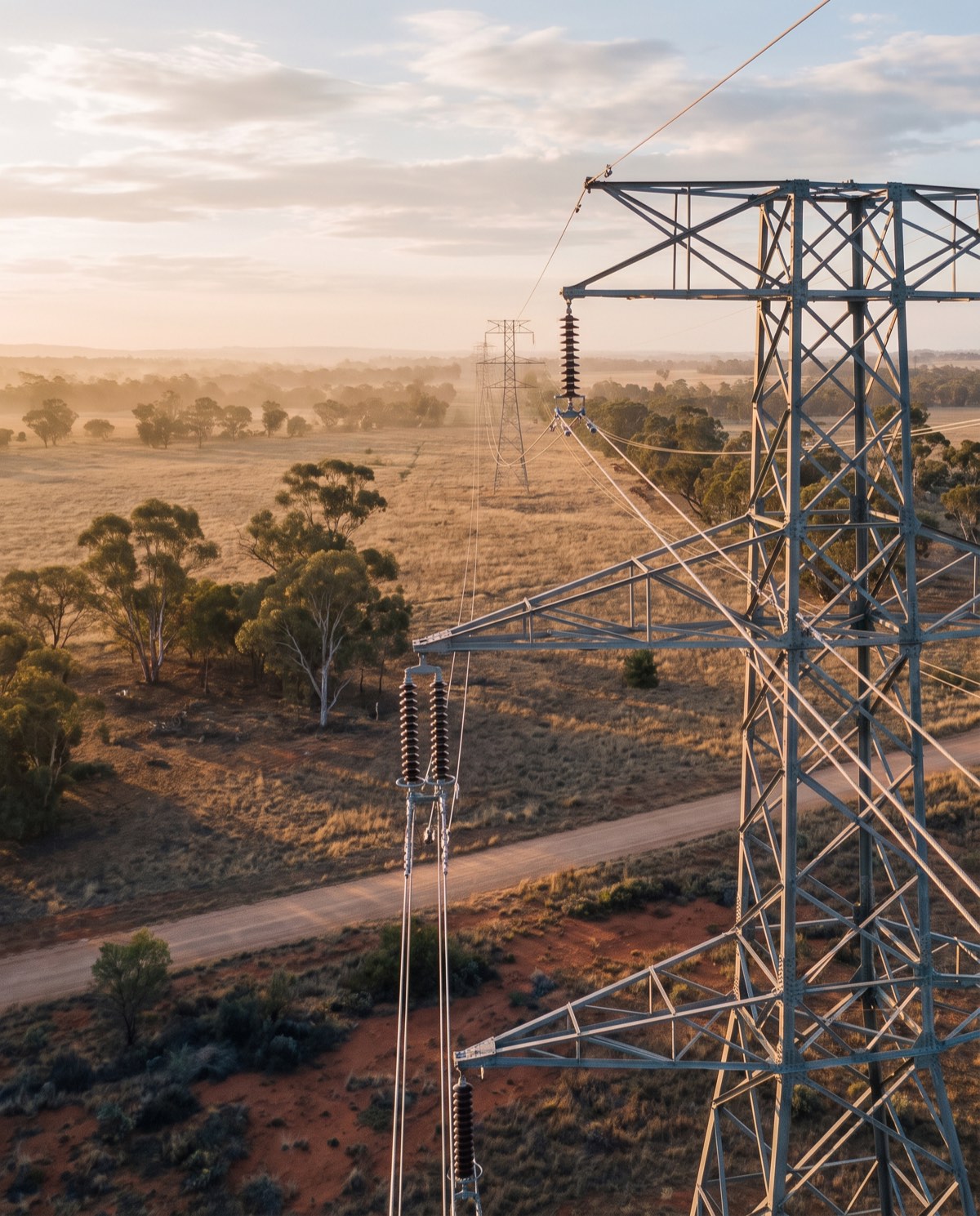
Aerial visual and thermal surveys of powerlines, poles and hardware that keep crews clear of live infrastructure and difficult terrain.
Survey the network without touching live infrastructure
Drone powerline inspections let you examine conductors, poles, cross-arms and hardware up close without crews approaching live lines or crossing difficult terrain on foot. In flight we capture close-range visual imagery along the run, paired with radiometric thermal data that surfaces the heat signatures often associated with loose joints, degraded connections and overloaded hardware. Each finding is geotagged along the corridor, so your team can locate and prioritise it precisely.
For network operators and contractors, that means safer surveying, quicker access across long or remote spans, and clearer data behind maintenance planning.
Who it’s for
- Electricity network operators and distributors managing assets at scale
- Powerline maintenance and construction contractors scoping works
- Rural and regional property owners with private lines and poles
- Solar farms and industrial sites with private HV/LV reticulation
- Asset managers building a documented inspection record
What’s captured and delivered
We combine high-resolution visual imagery with radiometric thermal capture, so both physical condition and thermal anomalies at connection points are documented. You receive:
- High-resolution stills of conductors, poles and hardware
- Radiometric thermal imagery of joints and connections
- A geotagged fault and asset log along the run
- Observations on vegetation encroachment near the corridor
- An annotated PDF inspection report
Thermal readings are reported as measured temperature differences and anomaly patterns — indicative aerial data that identifies visible and thermal anomalies for further assessment. Any electrical testing, condition verification or rectification must be carried out by a licensed electrical worker under the relevant network’s safety rules.
Our process
- Scope — you share the line route, asset type and access constraints.
- Site and airspace check — we confirm access, terrain and the airspace over the corridor.
- Capture — a structured flight along the run recording visual and thermal imagery.
- Analysis — we review the data and mark anomalies against their location.
- Reporting — a geotagged fault log and annotated PDF, typically within 3–5 business days.
Why it’s worth it
Aerial inspection keeps personnel clear of energised infrastructure during surveying, covers long or remote spans far faster than a ground patrol, and reduces the downtime and access effort of manual inspection. It also builds a repeatable, time-stamped record you can benchmark across inspection cycles.
The thermal data adds context a visual patrol can’t provide. A connection that looks sound can still be running hot under load, and flagging that early helps your team prioritise the joints and hardware most likely to fail. Combined with the vegetation observations along the corridor, the report supports both maintenance scheduling and bushfire-season risk planning — particularly valuable across rural spans where a ground patrol is slow, costly and exposed to difficult terrain.
Airspace and safety
Our CASA-certified pilots operate under CASA standard operating conditions, keeping a 30m separation from people not involved in the operation. Airspace near controlled zones and aerodromes is checked live for every booking, and flights in those areas are subject to CASA approval. We confirm what’s achievable along your corridor before we attend.
Book a powerline inspection
Need condition data across your network without a ground patrol? Request a quote with the line route and asset details, and we’ll confirm the flight plan and reporting window.
Flights are planned under CASA standard operating conditions. Work near controlled airspace or aerodromes is subject to CASA approval, checked per booking.
More in Drone Inspections
 Drone Roof Inspections Fast aerial roof condition surveys that replace ladders and rope access with high-resolution visual and thermal data.
 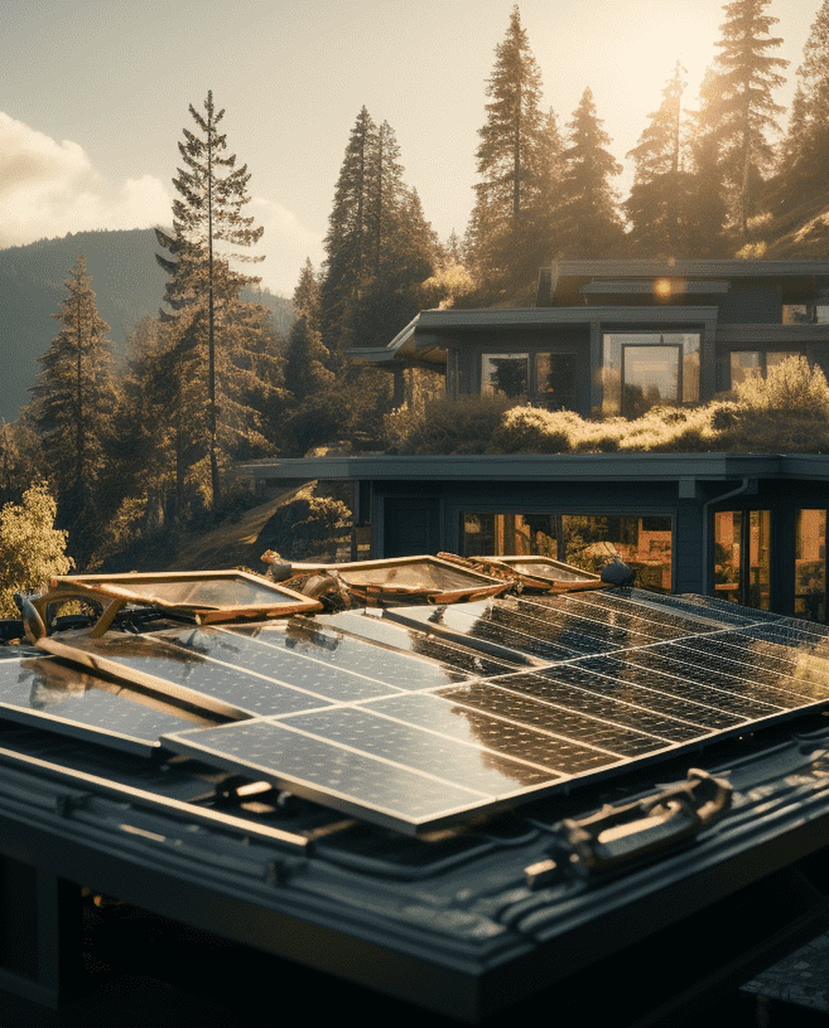 Drone Solar Panel Inspections Aerial thermal surveys that pinpoint underperforming modules and hot spots across solar arrays without manual panel-by-panel access.
 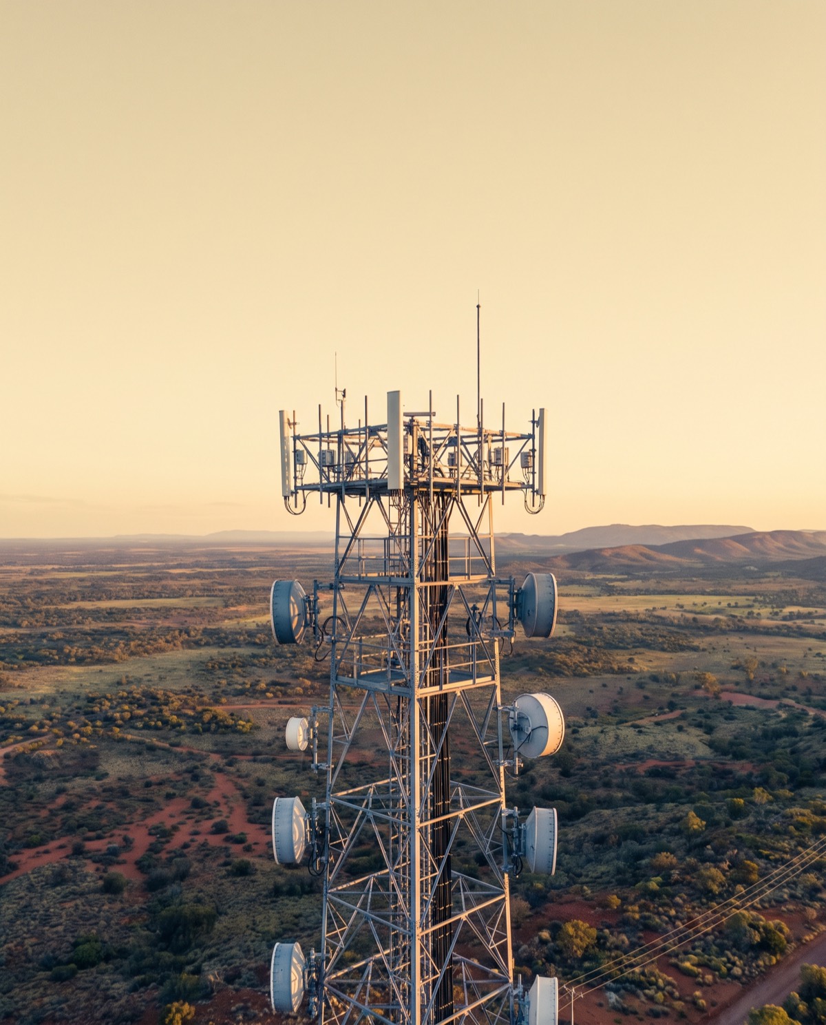 Drone Telecommunications Tower Inspections Close-range aerial surveys of towers, antennas and mounts that reduce rigger climbs and keep crews safely on the ground.
 Ready to book drone powerline inspections?
Tell us the site and the job — we’ll confirm the flight plan, airspace and reporting window.