Aerial Photography & Video
Drone Real Estate Photography
High-resolution aerial stills that frame the whole property, its boundaries and lifestyle setting to move listings faster.
Show the whole property, not just the front door
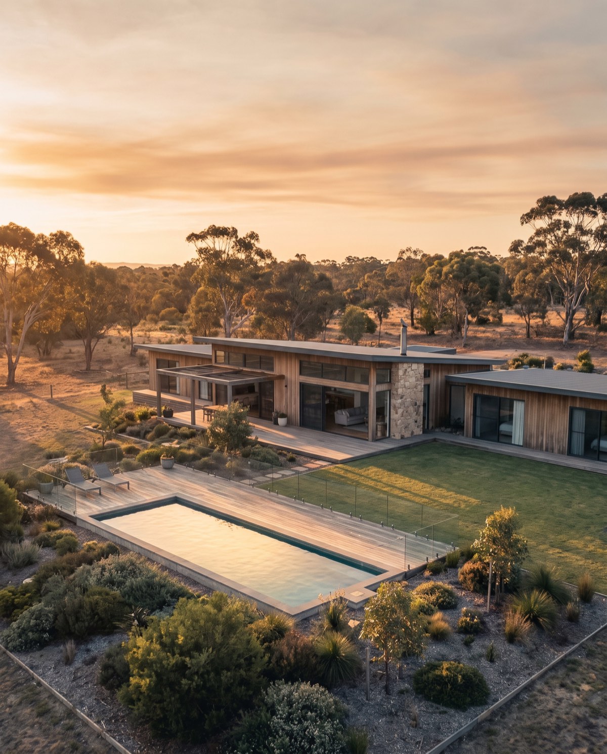
Drone real estate photography gives a listing the one perspective a ground camera can’t — the full footprint of the property, its position on the block, and the lifestyle around it. A single elevated frame answers the questions buyers scroll for: how big is the yard, where’s the pool, how close is the water, what’s the outlook. We shoot to sell, framing land, structure and setting so the listing reads as an opportunity rather than a floor plan.
The result is a set of clean, colour-graded aerial stills that lift a campaign above the surrounding pages of eye-level photos and hold a buyer’s attention long enough to book an inspection.
Why aerial wins the scroll
Buyers form an impression of a property in seconds, and the hero image does most of that work. An elevated frame carries information a ground shot can’t — proximity to water, parkland or a golf course, the size and privacy of the backyard, the shape of the block and where the sun tracks across it. For acreage, waterfront and view listings, that context is the value, and showing it early filters for genuinely interested buyers rather than tyre-kickers. Even on a standard suburban block, a well-composed aerial gives a listing a sense of place and a premium first impression that flat street-level photos rarely manage.
Who it’s for
- Sales agents and agencies wanting standout hero images for portals and print
- Vendors marketing acreage, waterfront, or view properties where position is the selling point
- Property stylists and marketers building a cohesive listing package
- Developers presenting completed homes or land estates to the market
What’s included
Every shoot is delivered as a curated set of high-resolution stills, edited for exposure, colour and a clean sky. You receive:
- 12–20 edited JPEGs at full resolution
- RAW files supplied on request for your own retoucher
- Portal- and MLS-ready crops in landscape and 4:3
- A boundary and aspect overview frame to show the block clearly
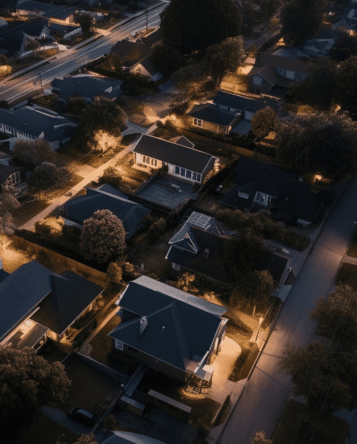
- An optional twilight edit for a premium hero shot
- Social-ready square and vertical crops on request
Every image is graded to a natural, editorial finish — no oversaturated skies or fake grass. The goal is imagery that shows the property at its most appealing, not a digital fantasy the buyer feels misled by at the inspection.
The craft behind the frame
Altitude alone doesn’t sell a home; composition does. We frame each shot to lead the eye — placing the house within its setting, keeping horizons level, and choosing the height and angle that flatter the roofline and reveal the yard without distortion. Timing matters too: we shoot when the light rakes across the property rather than flattening it, which brings out texture in the landscaping and depth in the build. Small decisions like these are what separate an aerial snapshot from an image that anchors a campaign.
Our process
- Brief — you share the address, key selling features and campaign deadline.
- Site and airspace check — we confirm access, sun position and the airspace over the property before the day.
- Shoot — a focused on-site session capturing hero, feature and context angles.
- Edit — selection, grading and portal crops.
- Delivery — a downloadable gallery, typically within 24–48 hours.
Airspace and safety
Our CASA-certified pilots operate under CASA standard operating conditions. Airspace near controlled zones and aerodromes is checked live for every booking, and flights in those areas are subject to CASA approval. We confirm what’s achievable at your address before the shoot, so there are no surprises on the day.
Request a quote
Have a listing that deserves the aerial treatment? Request a quote with the property address and your campaign date, and we’ll confirm the shoot plan and delivery window.
Flights are planned under CASA standard operating conditions. Work near controlled airspace or aerodromes is subject to CASA approval, checked per booking.
More in Aerial Photography & Video
 Drone Real Estate Video Cinematic aerial video that walks buyers through a property, its grounds and its setting in one continuous, motion-led story.
 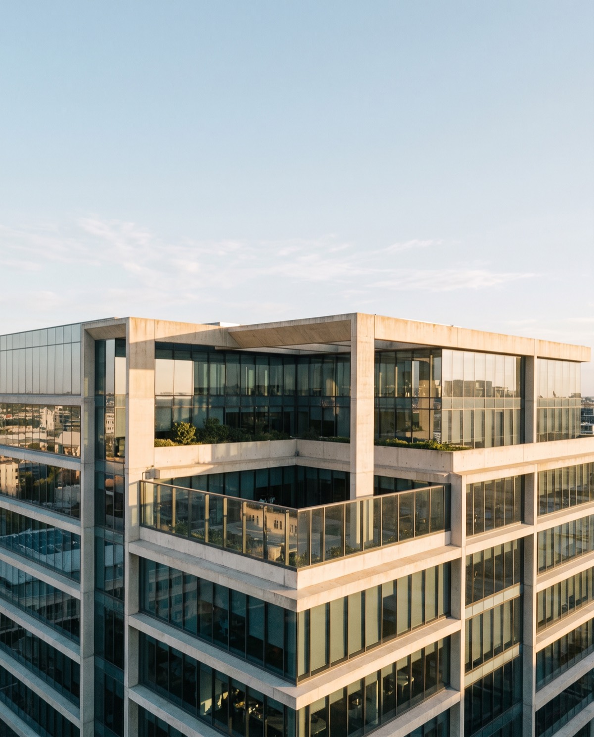 Commercial Drone Promo Video Aerial promotional video that gives a brand scale, movement and production value across web, social and campaign channels.
 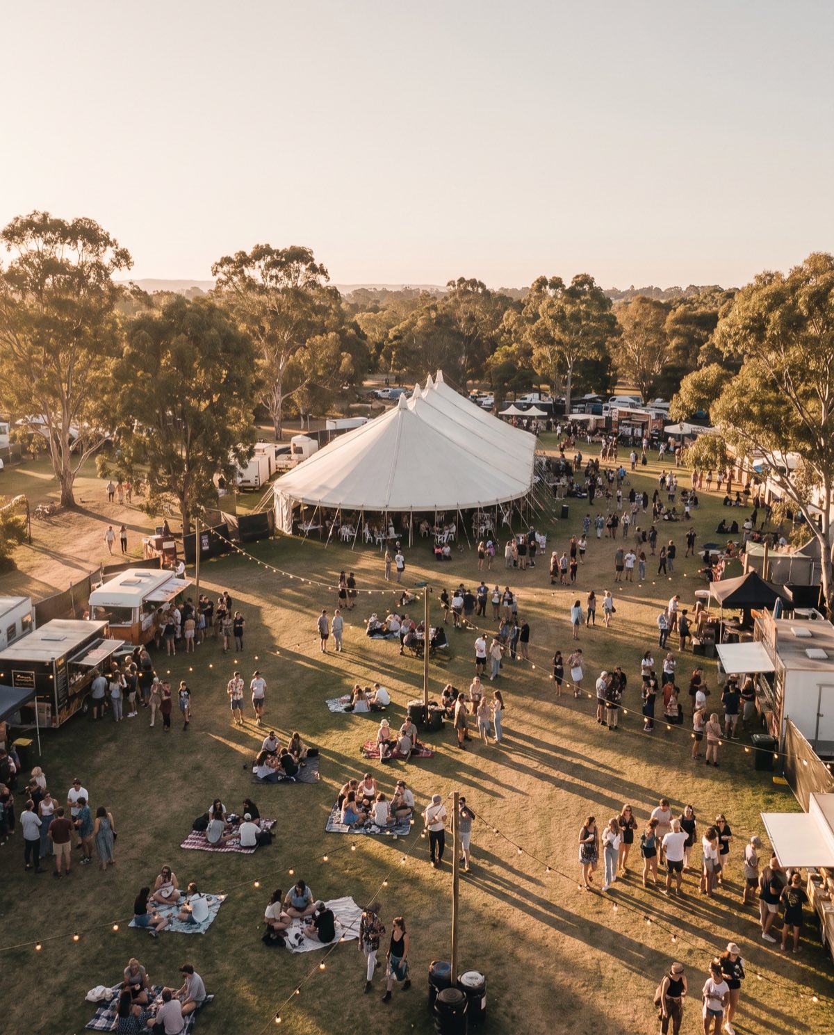 Aerial Event Coverage Aerial event coverage that captures the scale, atmosphere and full turnout of an occasion from a perspective the crowd never sees.
 Ready to book drone real estate photography?
Tell us the site and the job — we’ll confirm the flight plan, airspace and reporting window.