Mapping & Surveying
Drone 3D Modelling
Photorealistic, measurable 3D models of buildings, sites and assets — built from aerial imagery for design, planning and visualisation.
Turn a real site into a working 3D model
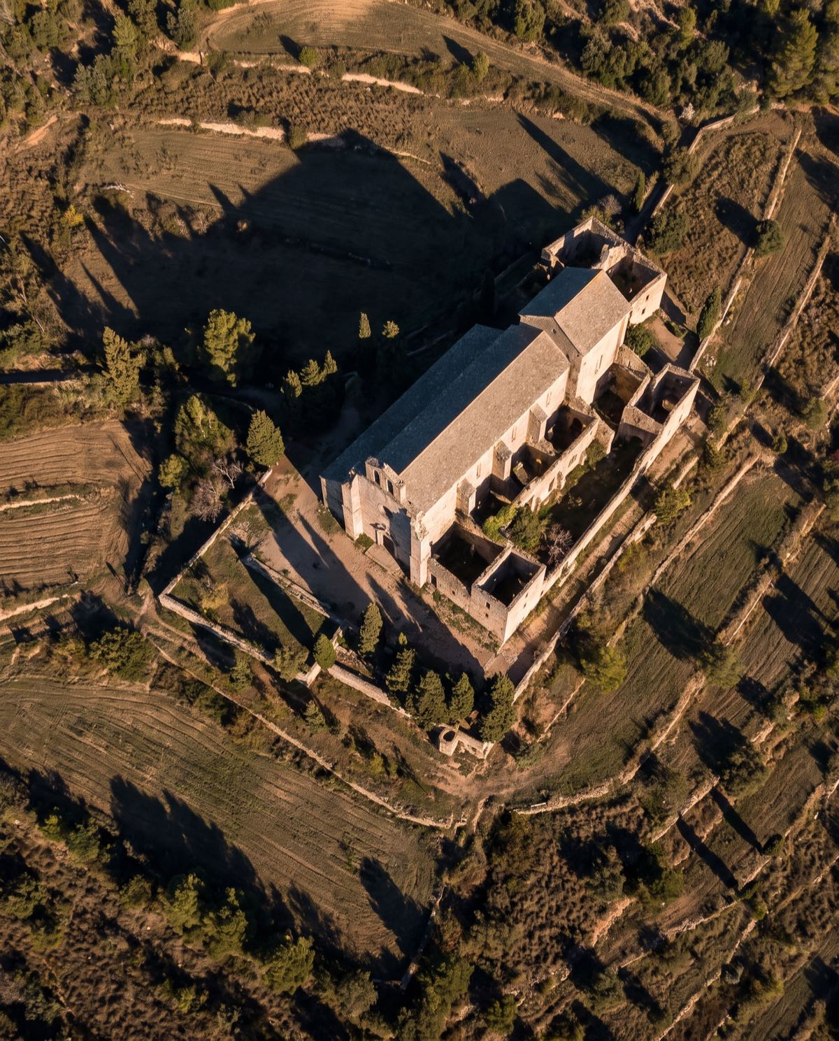
Drone 3D modelling captures a building, structure or landscape from every angle and reconstructs it into a photorealistic, measurable digital model. By flying overlapping imagery around and across the subject, we build a textured mesh and dense point cloud that reproduces the real geometry — something you can rotate, measure, section and share with a project team. It’s the difference between describing a site and actually handing people a digital twin of it.
These models support design, planning approvals, heritage documentation, marketing visuals and clash detection, all from a single capture that records the site exactly as it stands today.
Who it’s for
- Architects and designers working from accurate existing-conditions models
- Civil and construction teams documenting structures and progress in 3D
- Mining and quarry operators modelling pits, faces and infrastructure
- Developers, councils and heritage bodies recording and presenting assets
Data captured and deliverables
We plan capture geometry around the subject and tie the model to control where measurement accuracy is required. You receive:
- A textured 3D mesh (OBJ or FBX)
- A georeferenced point cloud (LAS/LAZ)
- A 3D PDF or web viewer model for easy sharing
- A Digital Surface Model (DSM) where relevant
- Texture and reflectance maps for the mesh
- A measurement-ready model in your coordinate system
What you can do with the model
- Measure — pull dimensions, areas and heights straight from a measurement-ready model rather than returning to site.
- Present — share an interactive model with stakeholders who can’t visit in person, from council to head office.
- Design — bring accurate existing conditions into your CAD or BIM environment as a starting point.
- Record — capture a heritage building, structure or site exactly as it stands for a permanent digital record.
- Detect clashes — check proposed works against the real geometry of what’s already there.
Our process
- Planning and GCPs — capture angles, overlap and ground control are planned for the geometry of your subject.
- Airspace check — airspace and any required approvals are confirmed before the flight.
- Capture — orbital and grid flight patterns record the subject from all sides and above.
- Photogrammetry processing — imagery is aligned and reconstructed into a dense point cloud and textured mesh.
- QA — geometry and texture are reviewed for completeness and alignment to control.
- Delivery — the model is supplied in your chosen formats and viewer.
A note on accuracy
Model accuracy and detail depend on flight distance, capture geometry, site conditions and Ground Control Points. Well-controlled captures at close range produce fine, well-positioned geometry; captures without ground control are visually strong but carry larger positional uncertainty. We agree the accuracy and level of detail with you before the flight and report the results achieved.
Airspace and CASA
Our CASA-certified pilots operate under CASA standard operating conditions. Modelling flights near controlled airspace, aerodromes or restricted areas are subject to CASA approval, which we assess during planning. We confirm what’s achievable at your site before setting a capture date.
Start a 3D model
Want your site or asset captured in 3D? Get in touch with the subject, location and how you’ll use the model, and we’ll scope capture, control and delivery.
Flights are planned under CASA standard operating conditions. Work near controlled airspace or aerodromes is subject to CASA approval, checked per booking.
More in Mapping & Surveying
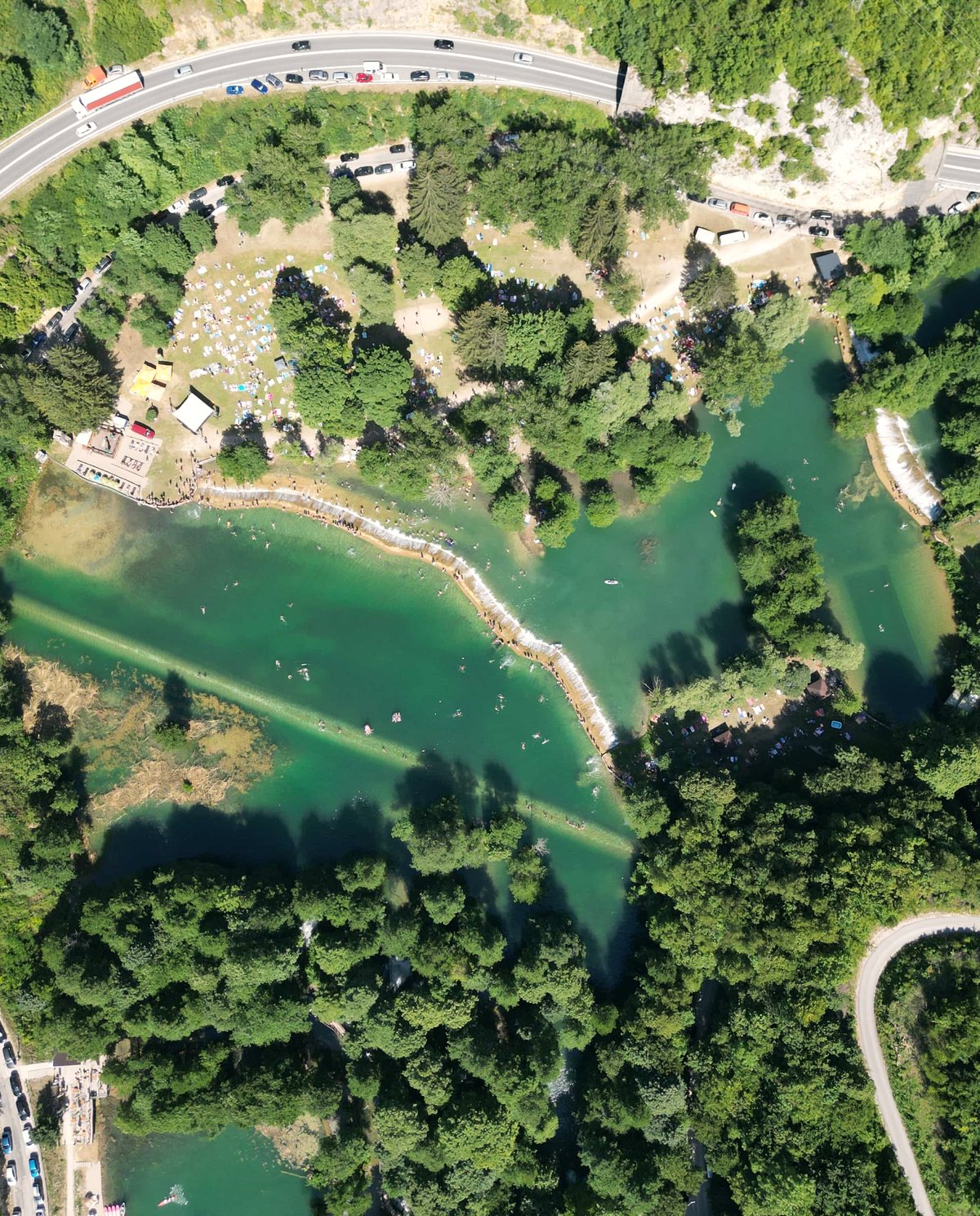 Drone Aerial Mapping High-resolution aerial mapping that turns a site into accurate, measurable geospatial data — captured in hours, not days.
 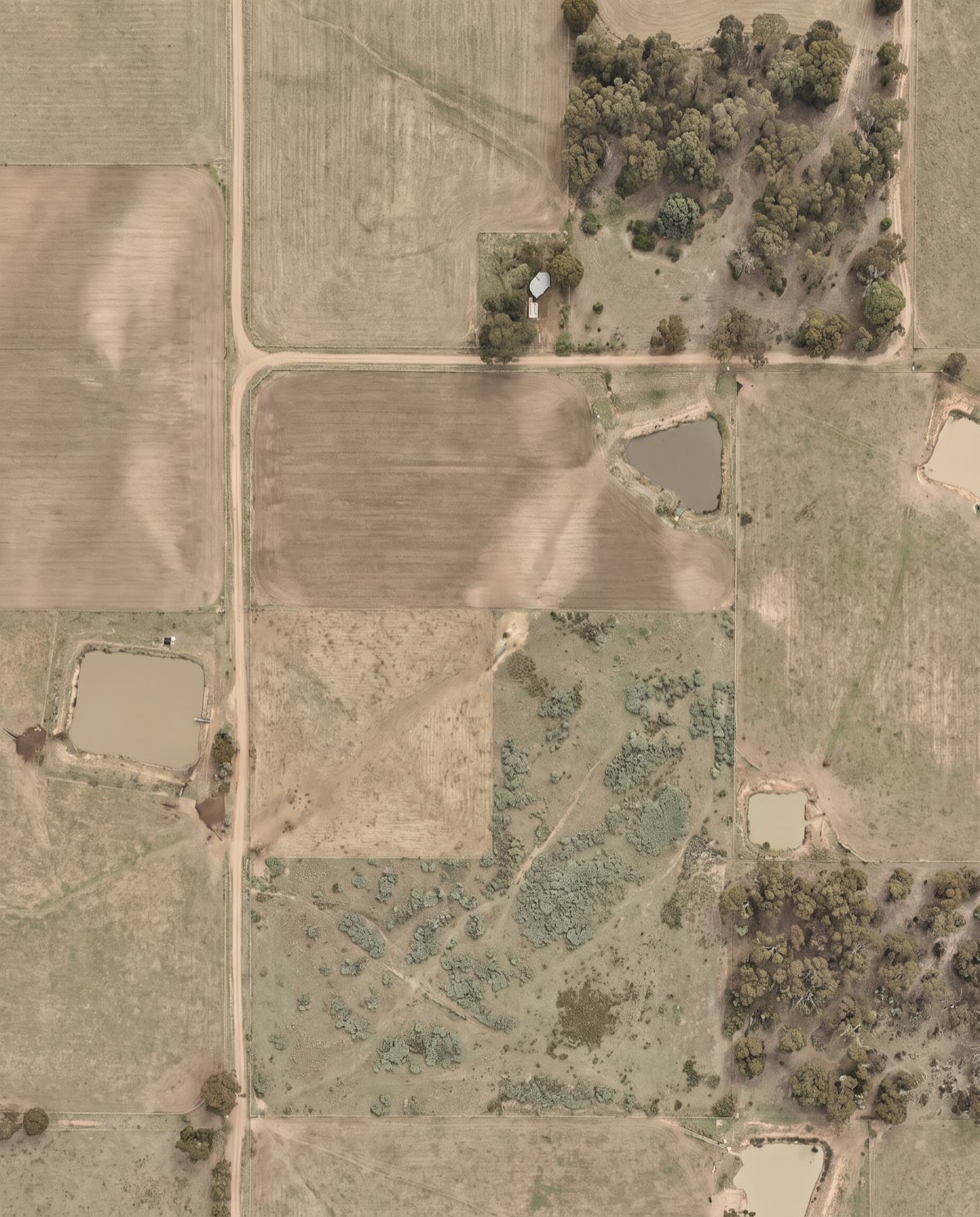 Orthomosaic Mapping Distortion-corrected, georeferenced aerial imagery you can measure directly — a true-to-scale base map of your entire site.
 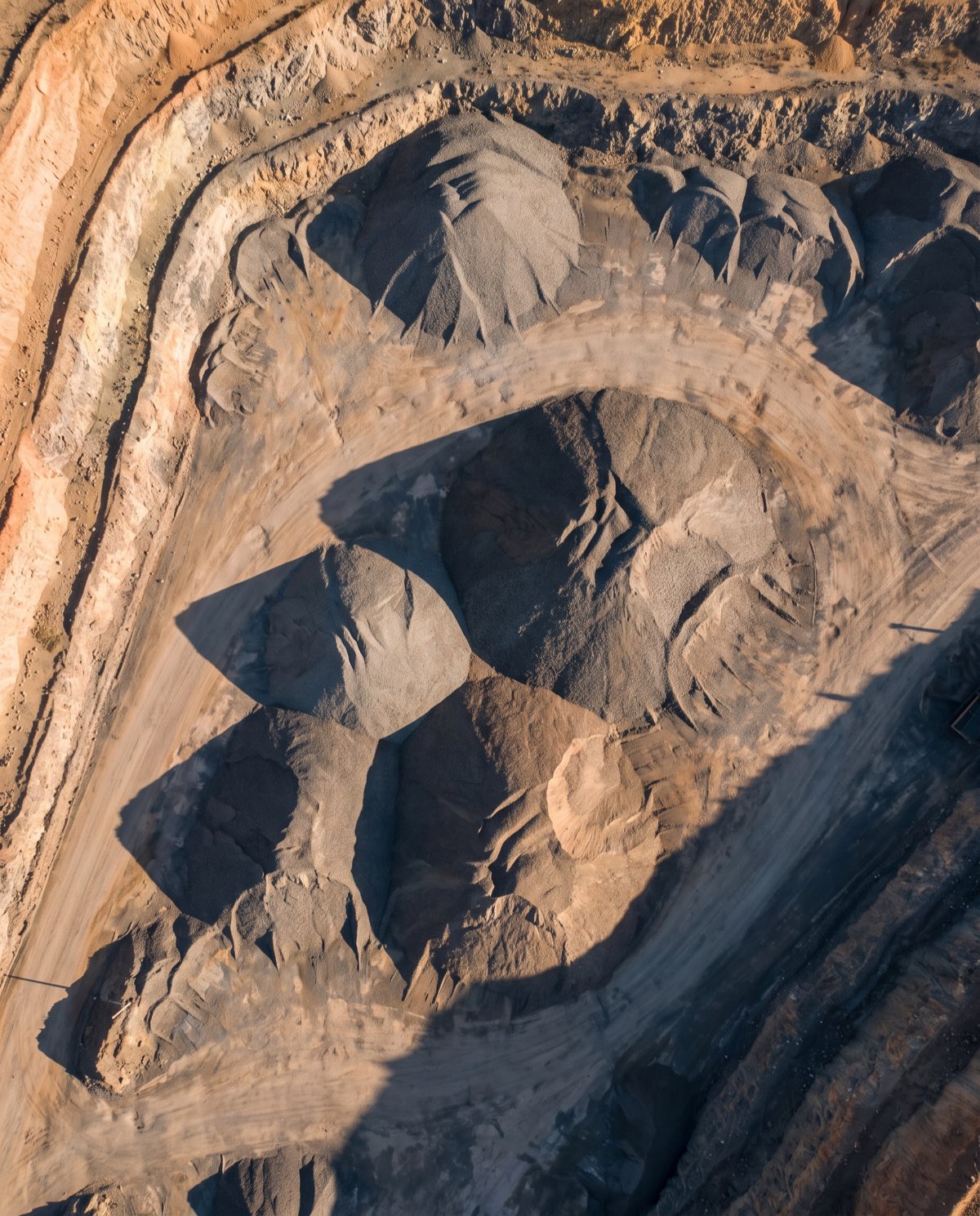 Volumetric Surveys Fast, repeatable volume measurement of stockpiles and earthworks — accurate cut-and-fill and inventory figures from a single flight.
 Ready to book drone 3d modelling?
Tell us the site and the job — we’ll confirm the flight plan, airspace and reporting window.