Mapping & Surveying
Drone Aerial Mapping
High-resolution aerial mapping that turns a site into accurate, measurable geospatial data — captured in hours, not days.
Accurate site data, captured from the air
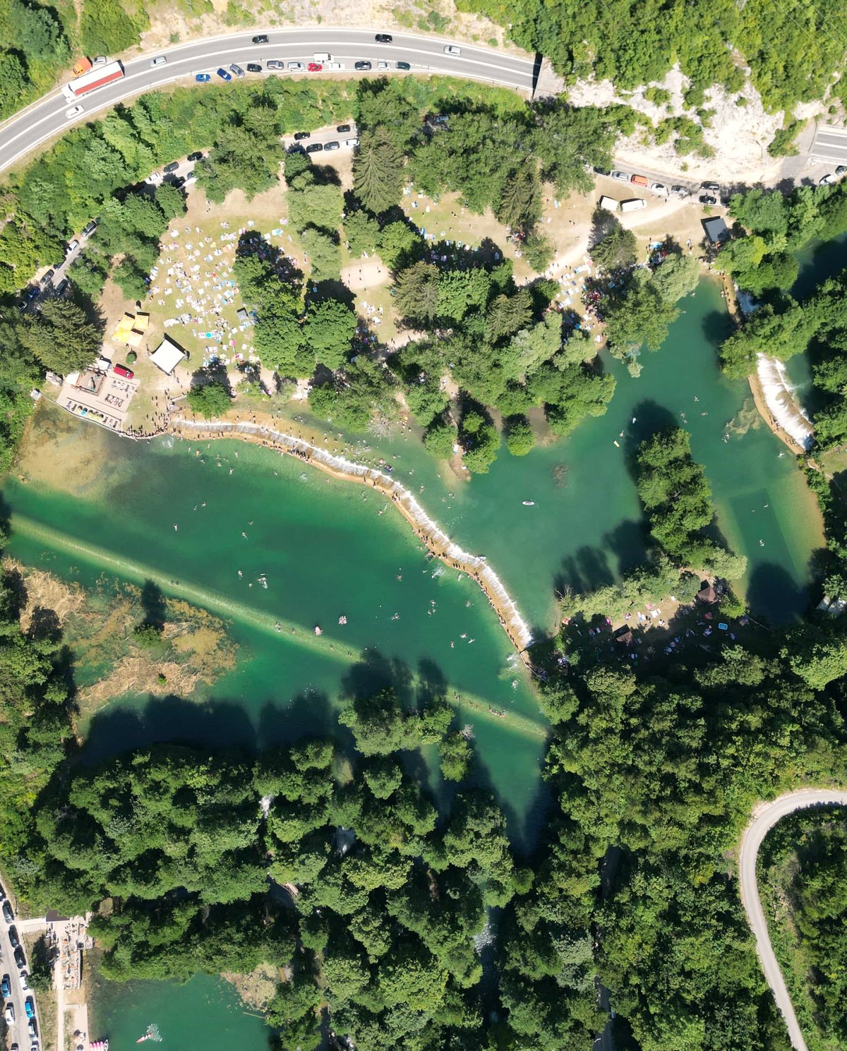
Drone aerial mapping replaces slow, labour-intensive ground survey passes with a single flight that captures thousands of overlapping images across your site. Those images are processed through photogrammetry into measurable geospatial products — a georeferenced orthomosaic, elevation models and contours you can pull straight into your CAD or GIS workflow. For large or hard-to-access sites, it’s a faster and often more cost-effective way to gather aerial data than sending a crew across the ground.
The value is in what the data lets you do: measure distances and areas, model terrain, track change over time and make decisions from a current, high-resolution picture of the site rather than an out-of-date plan.
Who it’s for
- Surveyors and geospatial teams wanting a rapid aerial data set to complement ground control
- Civil and construction firms needing current site models for design and earthworks
- Mining and quarry operators monitoring stockpiles, benches and extents
- Property developers and councils planning, assessing and documenting land
Data captured and deliverables
Every mapping flight is flown with planned overlap and, where accuracy matters, surveyed Ground Control Points (GCPs). You receive:
- A GeoTIFF orthomosaic — a scaled, georeferenced aerial image
- A Digital Surface Model (DSM) and Digital Terrain Model (DTM)
- Contour lines exported as DXF or SHP for CAD/GIS
- A georeferenced point cloud (LAS/LAZ)
- A coverage and accuracy report documenting flight parameters and GCP results
Coordinate systems (GDA2020 / MGA zones) are set to your project spec before we fly.
Why teams use drone mapping
- Speed — a site that would take days to walk on foot can often be captured in a single flight, so your data is current rather than weeks old.
- Coverage — every square metre is recorded at consistent resolution, not just the points a rover happened to visit.
- Safety — steep, live or hazardous ground is mapped from the air instead of on foot.
- Repeatability — the same flight plan can be reflown to track change over time from a consistent baseline.
Our process
- Planning and GCPs — we scope the site, plan flight lines and overlap, and place surveyed ground control where required.
- Airspace check — we confirm the airspace over your site and any approvals needed before the day.
- Capture — automated flight lines gather the image set at the resolution your project needs.
- Photogrammetry processing — images are aligned and processed into the orthomosaic, elevation models and point cloud.
- QA — outputs are checked against control and reviewed for gaps or artefacts.
- Delivery — final deliverables supplied in your specified formats and coordinate system.
A note on accuracy
Achievable accuracy depends on the site, flight parameters and the quality and distribution of Ground Control Points. Centimetre-level accuracy is achievable on well-controlled sites with surveyed GCPs, while flights flown without ground control carry larger positional uncertainty. We agree the accuracy target with you up front and report the results we actually achieve — no blanket accuracy claims.
Airspace and CASA
Our CASA-certified pilots operate under CASA standard operating conditions. Mapping flights near controlled airspace, aerodromes or restricted areas are subject to CASA approval, which we assess and arrange as part of planning. We confirm what’s achievable at your site before committing to a capture date.
Talk to us about your site
Have a site that needs mapping? Get in touch with the location, area and the accuracy your project calls for, and we’ll scope the flight plan, control and delivery timeline.
Flights are planned under CASA standard operating conditions. Work near controlled airspace or aerodromes is subject to CASA approval, checked per booking.
More in Mapping & Surveying
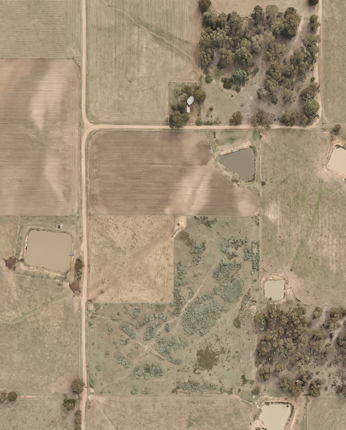 Orthomosaic Mapping Distortion-corrected, georeferenced aerial imagery you can measure directly — a true-to-scale base map of your entire site.
 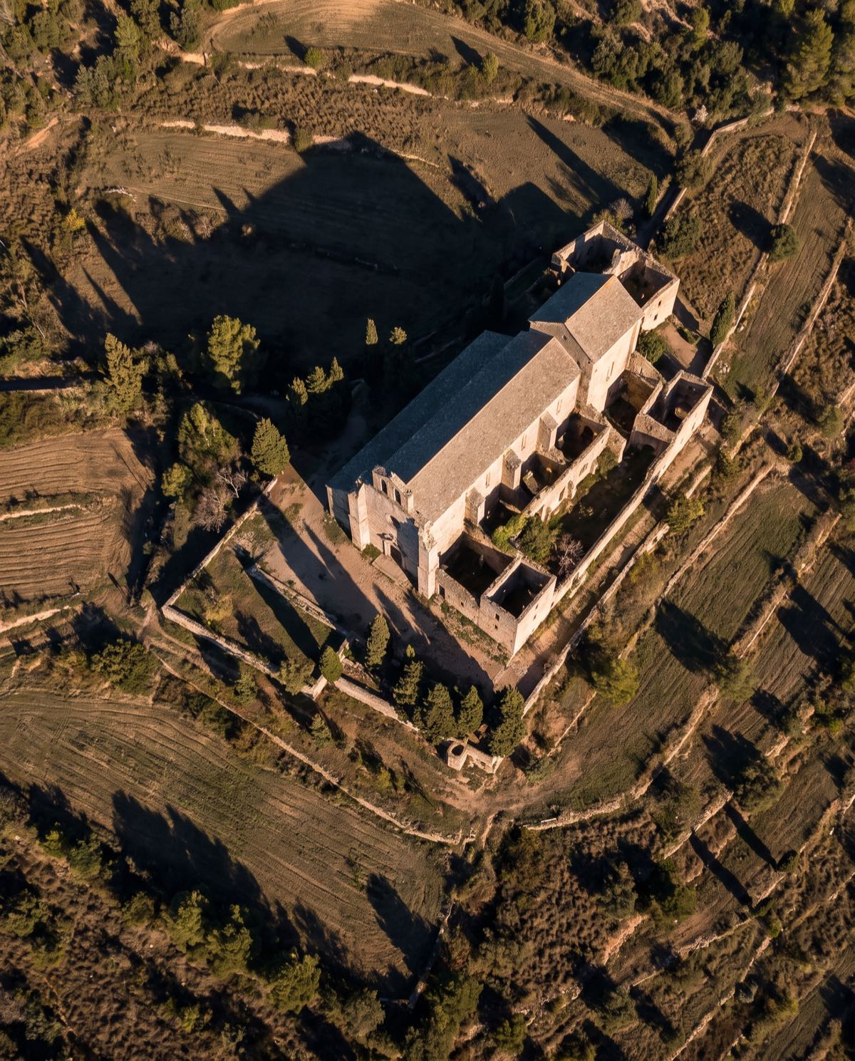 Drone 3D Modelling Photorealistic, measurable 3D models of buildings, sites and assets — built from aerial imagery for design, planning and visualisation.
 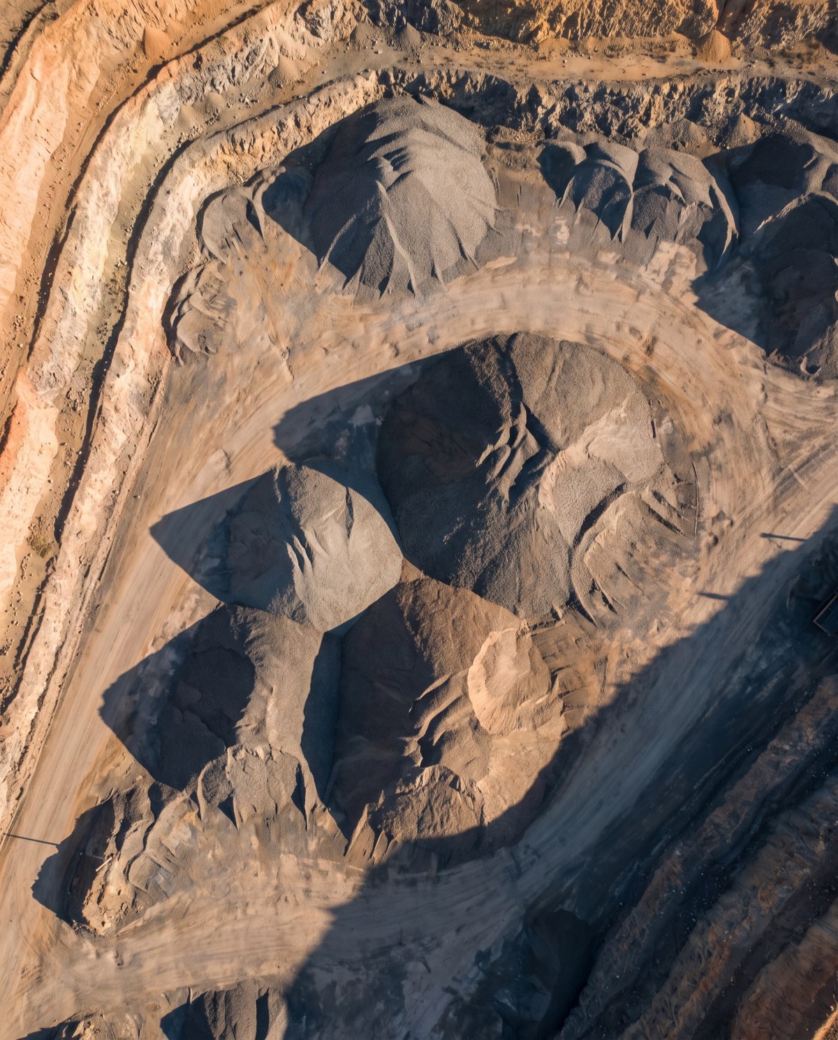 Volumetric Surveys Fast, repeatable volume measurement of stockpiles and earthworks — accurate cut-and-fill and inventory figures from a single flight.
 Ready to book drone aerial mapping?
Tell us the site and the job — we’ll confirm the flight plan, airspace and reporting window.