Mapping & Surveying
Orthomosaic Mapping
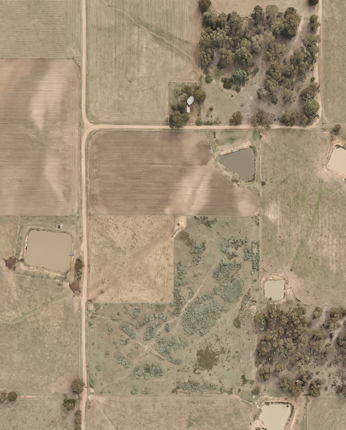
Distortion-corrected, georeferenced aerial imagery you can measure directly — a true-to-scale base map of your entire site.
A true-to-scale aerial base map
Orthomosaic mapping stitches hundreds of overlapping drone images into a single, distortion-corrected aerial image that’s accurate to scale across the whole site. Unlike a standard photo, an orthomosaic corrects for lens distortion, terrain and camera tilt, so every point sits in its correct geographic position. That means you can measure distances, areas and features directly on the image and drop it straight into CAD or GIS as a georeferenced base layer.
It’s the foundation product behind most aerial survey work — a current, high-resolution picture of your site that everyone on the project can work from.
Who it’s for
- Surveyors needing a scaled aerial backdrop for drafting and feature pickup
- Civil and construction teams overlaying design on current site conditions
- Mining and quarry operators documenting extents and site layout
- Developers, councils and land managers recording and planning across large parcels
Data captured and deliverables
We fly planned overlap and, where positional accuracy matters, tie the imagery to surveyed Ground Control Points. You receive:
- A georeferenced GeoTIFF orthomosaic
- High-resolution JPEG or TIFF exports for presentation
- Tiled georeferenced imagery ready for GIS
- A Ground Sample Distance (GSD) report documenting image resolution
- Output in your project coordinate system (GDA2020 / MGA)
- Optional vegetation index layers (e.g. NDVI) from multispectral capture
How an orthomosaic is different from a photo
A standard aerial photo is taken from one point, so scale and position shift across the frame — objects lean, and distances near the edges are distorted. An orthomosaic is built from hundreds of images and corrected for lens, tilt and terrain, so scale is consistent everywhere. That’s what makes it safe to measure from and reliable to overlay on design. It becomes the shared base layer your whole project team can trace, mark up and reference, knowing every point sits where it really is on the ground.
Our process
- Planning and GCPs — flight lines, overlap and ground control are set to the resolution and accuracy your project needs.
- Airspace check — airspace over the site and any required approvals are confirmed first.
- Capture — automated flight lines gather the overlapping image set.
- Photogrammetry processing — images are aligned, orthorectified and mosaicked into a single georeferenced image.
- QA — the mosaic is checked for coverage, seam quality and alignment to control.
- Delivery — final orthomosaic supplied in your formats and coordinate system.
A note on accuracy
The positional accuracy and resolution of an orthomosaic depend on flight altitude, camera, site conditions and the Ground Control Points used. Lower flights and surveyed GCPs produce a finer, better-positioned image; flights without ground control carry larger positional uncertainty. We set the target GSD and accuracy with you before the flight and report what we achieve.
Airspace and CASA
Our CASA-certified pilots operate under CASA standard operating conditions. Flights near controlled airspace, aerodromes or restricted areas are subject to CASA approval, which we assess during planning. We confirm what’s achievable at your location before booking a capture date.
Request a quote
Need a scaled aerial base map of your site? Contact us with the location and area, and we’ll scope the resolution, ground control and delivery formats your project needs, along with a realistic timeline for capture and processing.
Flights are planned under CASA standard operating conditions. Work near controlled airspace or aerodromes is subject to CASA approval, checked per booking.
More in Mapping & Surveying
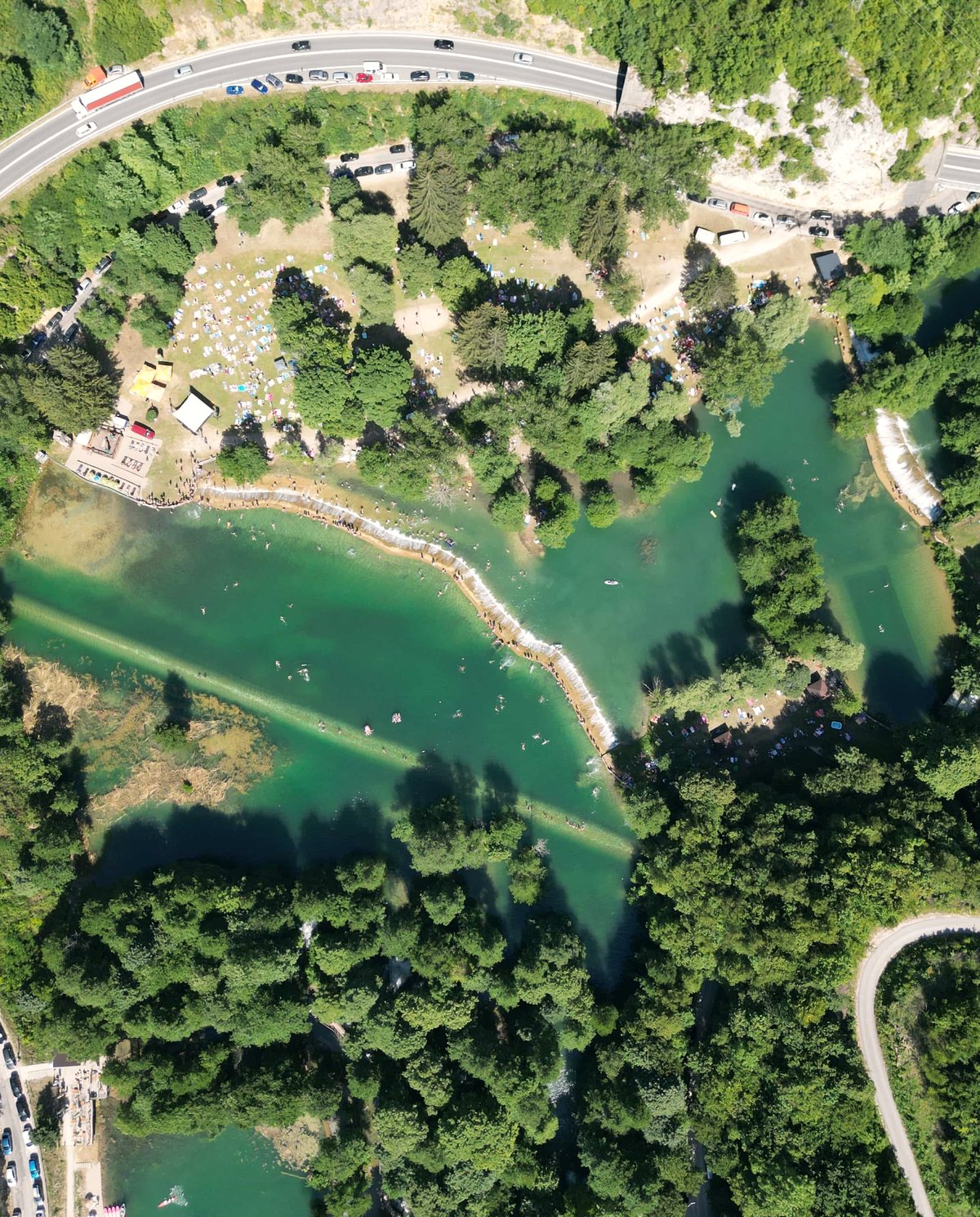 Drone Aerial Mapping High-resolution aerial mapping that turns a site into accurate, measurable geospatial data — captured in hours, not days.
 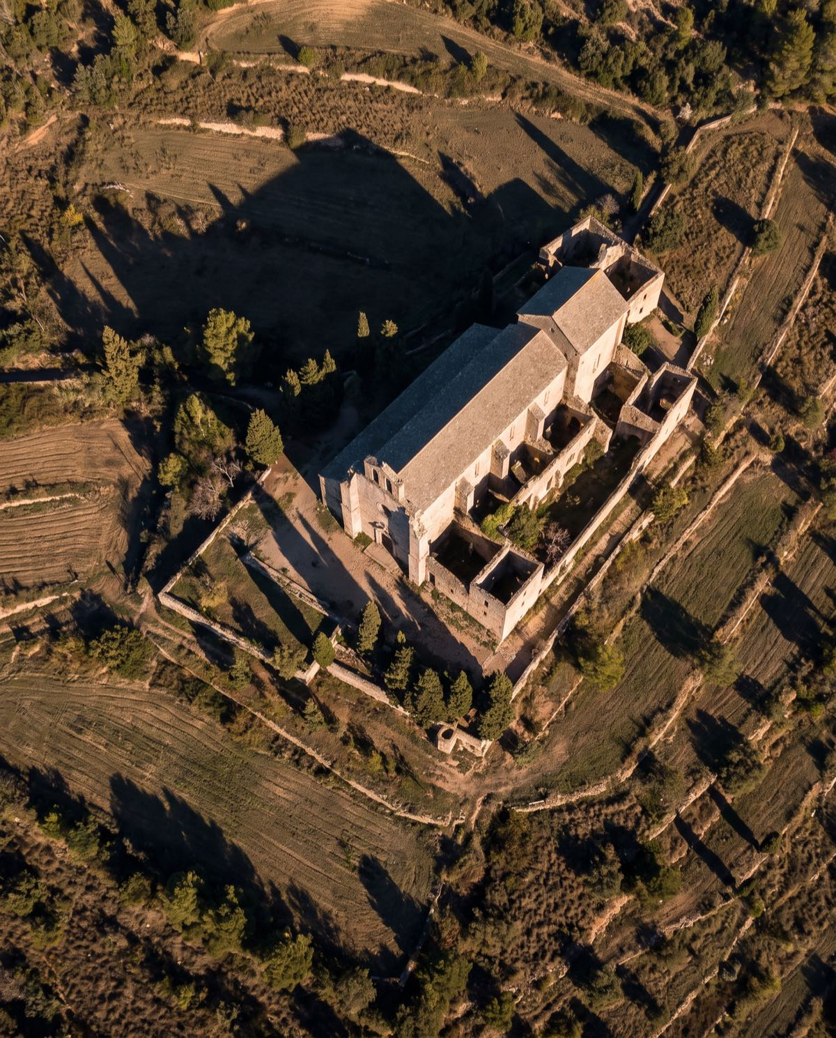 Drone 3D Modelling Photorealistic, measurable 3D models of buildings, sites and assets — built from aerial imagery for design, planning and visualisation.
 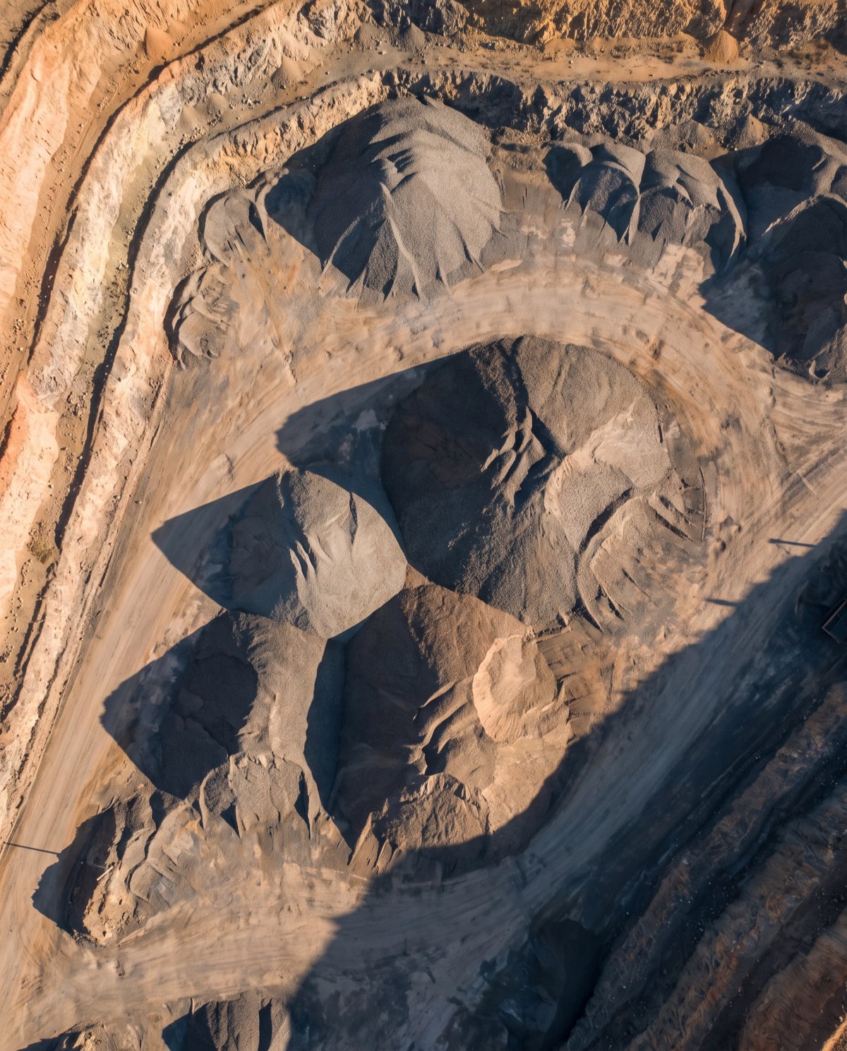 Volumetric Surveys Fast, repeatable volume measurement of stockpiles and earthworks — accurate cut-and-fill and inventory figures from a single flight.
 Ready to book orthomosaic mapping?
Tell us the site and the job — we’ll confirm the flight plan, airspace and reporting window.