Mapping & Surveying
Volumetric Surveys
Fast, repeatable volume measurement of stockpiles and earthworks — accurate cut-and-fill and inventory figures from a single flight.
Measure what’s on the ground, fast
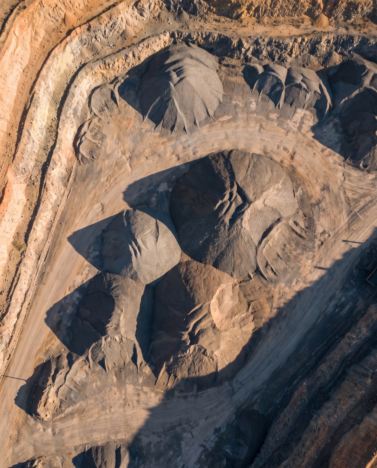
A drone volumetric survey measures the volume of stockpiles, cut-and-fill earthworks and material inventory from aerial data — without a crew walking the pile with a GPS rover. We fly the site, build a surface model from the imagery and calculate volume against a base surface, delivering a clear report of cubic metres for each pile or area. Because the whole site is captured in one flight, it’s a faster and safer way to measure inventory than traditional ground methods, and it’s easy to repeat on a regular cycle.
The result is defensible volume figures you can use for reconciliation, billing, production tracking and reporting — backed by the underlying survey data.
Who it’s for
- Mining and quarry operators measuring stockpiles and production
- Civil and construction firms tracking cut-and-fill and earthworks progress
- Waste, recycling and bulk material yards managing inventory
- Surveyors and QS teams needing repeatable volume data
Data captured and deliverables
Each survey ties the surface to ground control where accuracy matters, so volumes are measured against a properly positioned model. You receive:
- A volume report with cut/fill and per-stockpile figures in cubic metres
- A georeferenced point cloud (LAS/LAZ)
- A surface model (DSM/DTM)
- A GeoTIFF orthomosaic of the site
- A per-stockpile breakdown with individual volumes
- Base surface comparison for change over time
Why measure stockpiles from the air
- Safety — no one climbs or walks across loose, unstable material to take measurements.
- Speed — an entire yard of stockpiles is captured in one flight rather than measured pile by pile.
- Repeatability — regular flights build a consistent record for month-end reconciliation and production tracking.
- Evidence — every figure is backed by the underlying survey data, so it stands up to scrutiny in reconciliation or dispute.
Many operators run volumetric surveys on a monthly cycle so inventory, production and reporting all draw from the same measured source.
Our process
- Planning and GCPs — flight lines and ground control are set for the site and stockpile layout.
- Airspace check — airspace and any required approvals are confirmed first.
- Capture — automated flight lines record the full site with planned overlap.
- Photogrammetry processing — imagery is built into a surface model and point cloud.
- QA — volumes are checked against control and the chosen base surface.
- Delivery — the volume report and supporting data are supplied in your formats.
A note on accuracy
Volume accuracy depends on the base surface used, stockpile shape and toe definition, site conditions and Ground Control Points. Surveyed control and a well-defined base surface produce tight, repeatable figures; surveys without ground control carry larger uncertainty. We agree the method and base surface with you and report the accuracy achieved — these are measured figures, not blanket claims.
Airspace and CASA
Our CASA-certified pilots operate under CASA standard operating conditions. Flights near controlled airspace, aerodromes or restricted areas are subject to CASA approval, which we assess during planning. We confirm what’s achievable at your site before booking.
Request a volume survey
Need stockpiles or earthworks measured? Contact us with the site location and what you’re measuring, and we’ll scope the survey, control and reporting cycle.
Flights are planned under CASA standard operating conditions. Work near controlled airspace or aerodromes is subject to CASA approval, checked per booking.
More in Mapping & Surveying
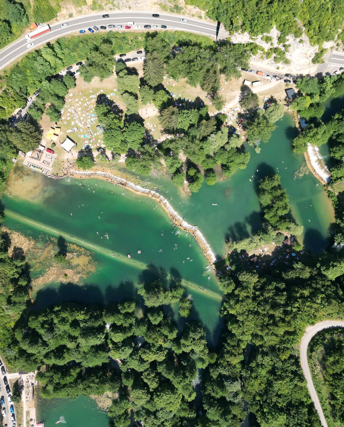 Drone Aerial Mapping High-resolution aerial mapping that turns a site into accurate, measurable geospatial data — captured in hours, not days.
 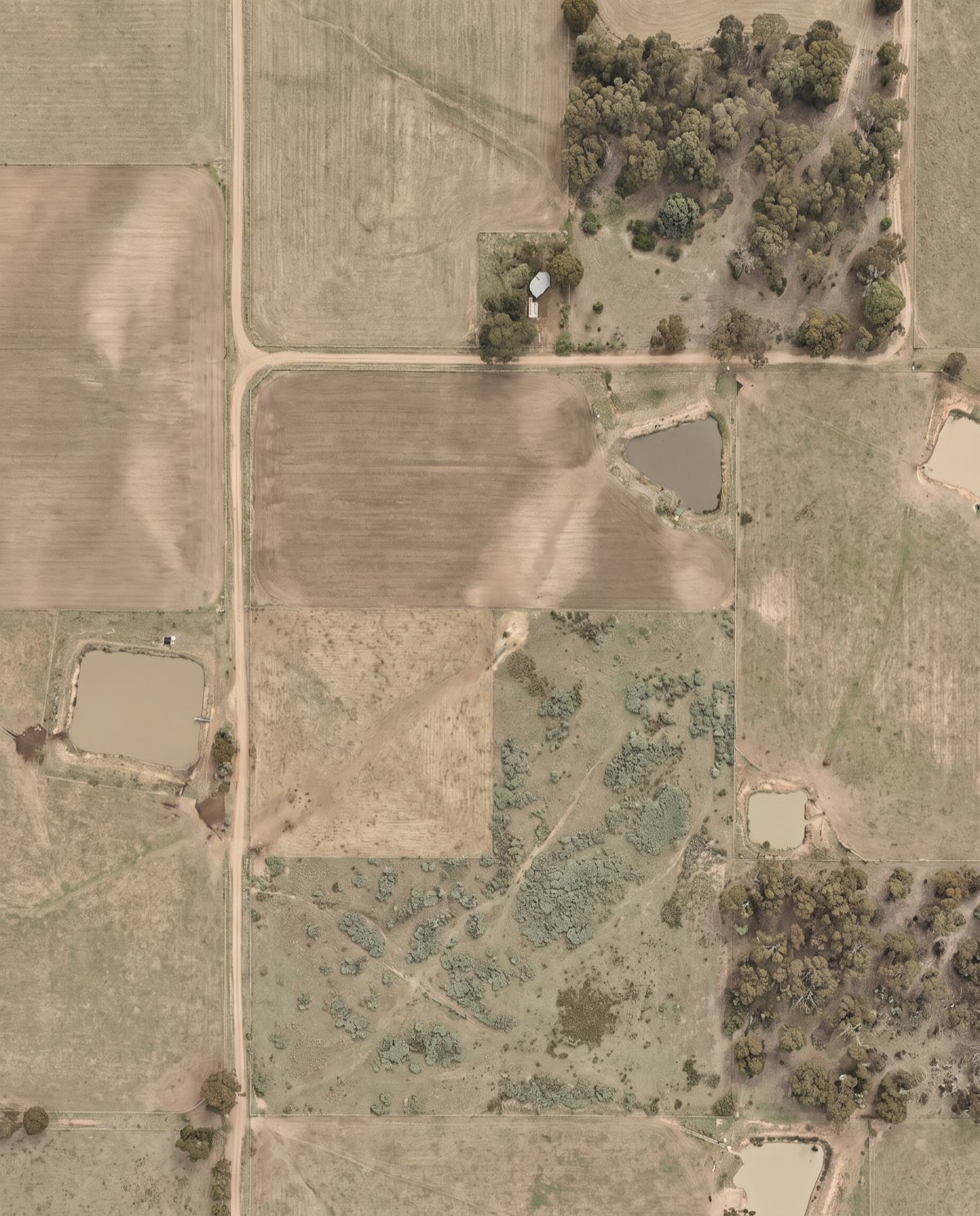 Orthomosaic Mapping Distortion-corrected, georeferenced aerial imagery you can measure directly — a true-to-scale base map of your entire site.
 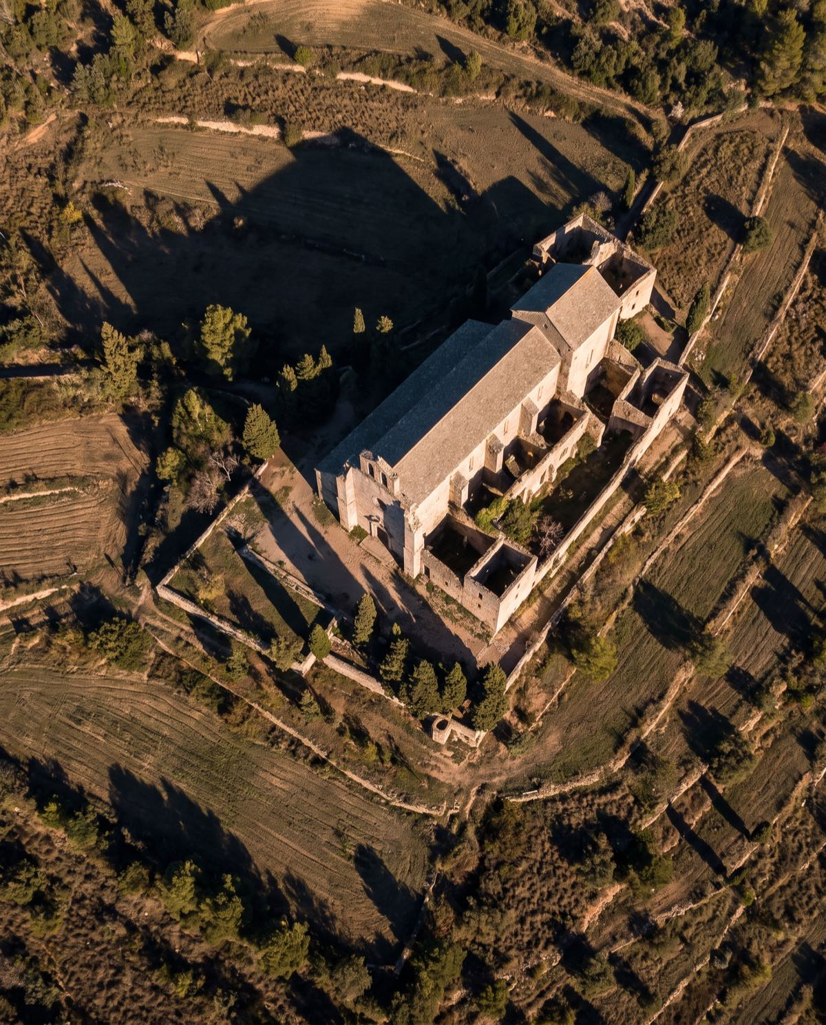 Drone 3D Modelling Photorealistic, measurable 3D models of buildings, sites and assets — built from aerial imagery for design, planning and visualisation.
 Ready to book volumetric surveys?
Tell us the site and the job — we’ll confirm the flight plan, airspace and reporting window.