

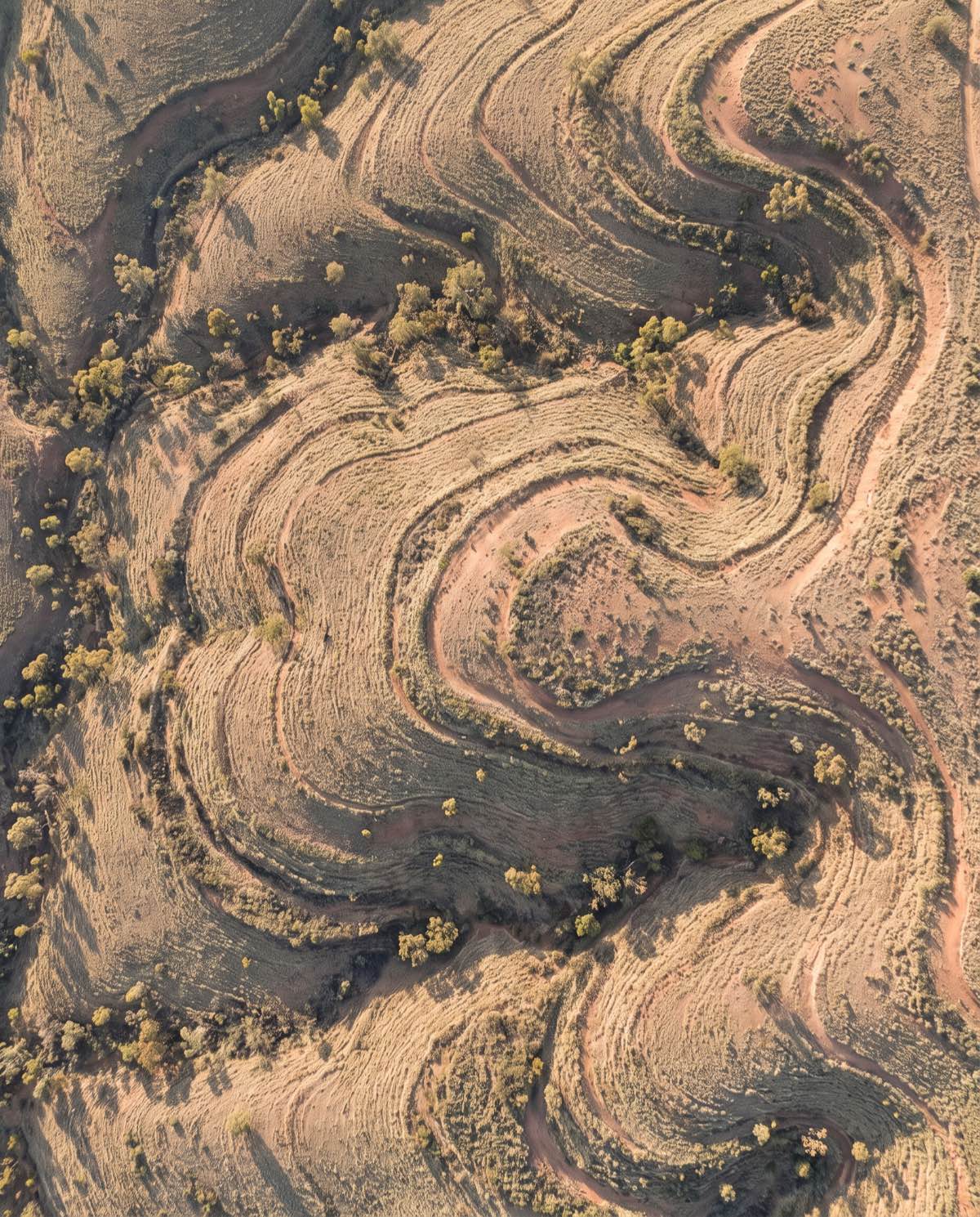
Mapping & Surveying
Topographic Surveys
Detailed terrain and contour data across your whole site — the elevation model civil design and planning teams work from.
Terrain data for design and planning
A drone topographic survey captures the shape of the land — elevations, contours, slopes and features — across your entire site from the air. Instead of a surveyor walking a grid of points, we fly overlapping imagery and build a dense elevation model, then extract contours, break lines and spot heights ready for civil design. For large or varied sites, it’s a faster way to gather detailed terrain data than ground traverse alone, while still tying back to surveyed ground control for accuracy.
The deliverable is the elevation picture your design and planning teams work from: contours in CAD, a terrain model in your coordinate system, and the underlying point cloud to interrogate any part of the site.
Who it’s for
- Surveyors wanting rapid terrain capture to combine with ground control
- Civil and construction engineers designing earthworks, roads and drainage
- Developers and planners assessing land form and constraints
- Councils and land managers documenting terrain across large areas
Data captured and deliverables
We place surveyed Ground Control Points and fly planned overlap so the terrain model is properly positioned. You receive:
- Contour lines at your chosen interval (DXF/SHP)
- A Digital Terrain Model (DTM) — bare-earth surface
- A Digital Surface Model (DSM) including features and vegetation
- A georeferenced point cloud (LAS/LAZ)
- A GeoTIFF orthomosaic of the site
- Break lines and spot heights for design
Output is delivered in your project coordinate system (GDA2020 / MGA) and datum.
DSM vs DTM — and why it matters
A survey produces two elevation surfaces, and knowing the difference helps you brief the job. The Digital Surface Model (DSM) records everything the drone sees — ground, buildings, trees and vegetation. The Digital Terrain Model (DTM) is the bare-earth surface with those features filtered out, and it’s what most civil design works from. Producing a clean DTM depends on how much of the ground is actually visible: open, clear sites filter well, while dense canopy and thick vegetation limit how much bare earth can be captured from the air. We’ll flag any areas where vegetation will affect the terrain model before we fly.
Our process
- Planning and GCPs — flight lines, overlap and surveyed ground control are set for the terrain.
- Airspace check — airspace and any required approvals are confirmed before the day.
- Capture — automated flight lines record the full site with high overlap.
- Photogrammetry processing — imagery is built into surface models, then filtered to bare-earth and contoured.
- QA — the model and contours are checked against control and reviewed for artefacts.
- Delivery — contours, terrain models and point cloud supplied in your formats.
A note on accuracy
Topographic accuracy depends on ground control, flight parameters, vegetation and site conditions. Surveyed GCPs and clear ground allow centimetre-level vertical accuracy on open sites; dense vegetation limits bare-earth capture, and flights without ground control carry larger uncertainty. We agree the accuracy target and contour interval with you up front and report the results achieved.
Airspace and CASA
Our CASA-certified pilots operate under CASA standard operating conditions. Surveys near controlled airspace, aerodromes or restricted areas are subject to CASA approval, which we assess during planning. We confirm what’s achievable at your site before booking.
Request a topographic survey
Have a site that needs terrain data? Get in touch with the location, area and contour interval, and we’ll scope control, capture and delivery.
Flights are planned under CASA standard operating conditions. Work near controlled airspace or aerodromes is subject to CASA approval, checked per booking.
More in Mapping & Surveying
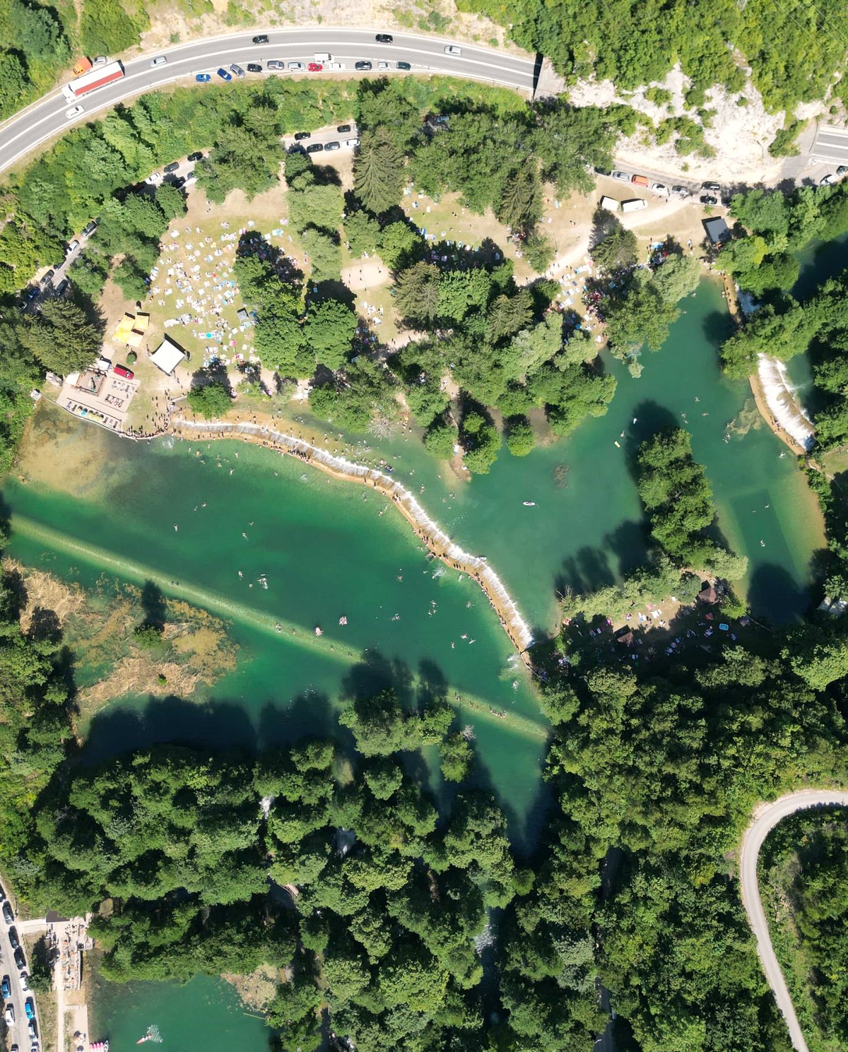 Drone Aerial Mapping High-resolution aerial mapping that turns a site into accurate, measurable geospatial data — captured in hours, not days.
 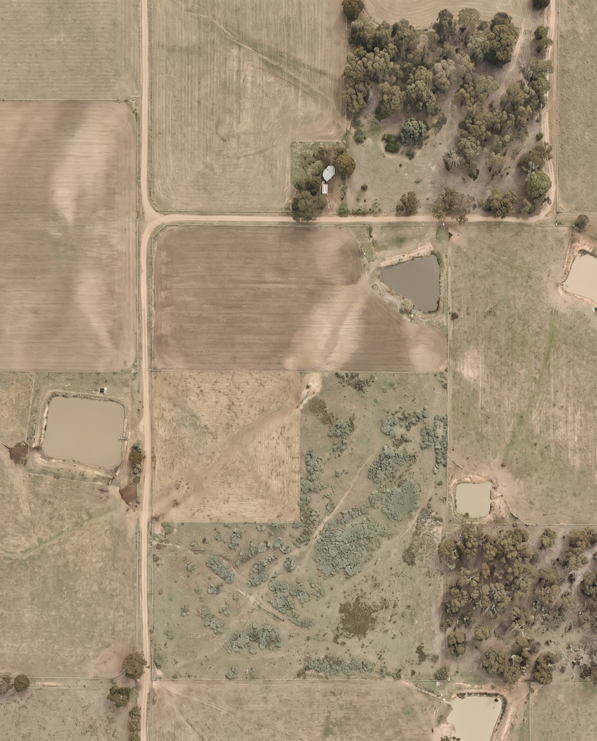 Orthomosaic Mapping Distortion-corrected, georeferenced aerial imagery you can measure directly — a true-to-scale base map of your entire site.
 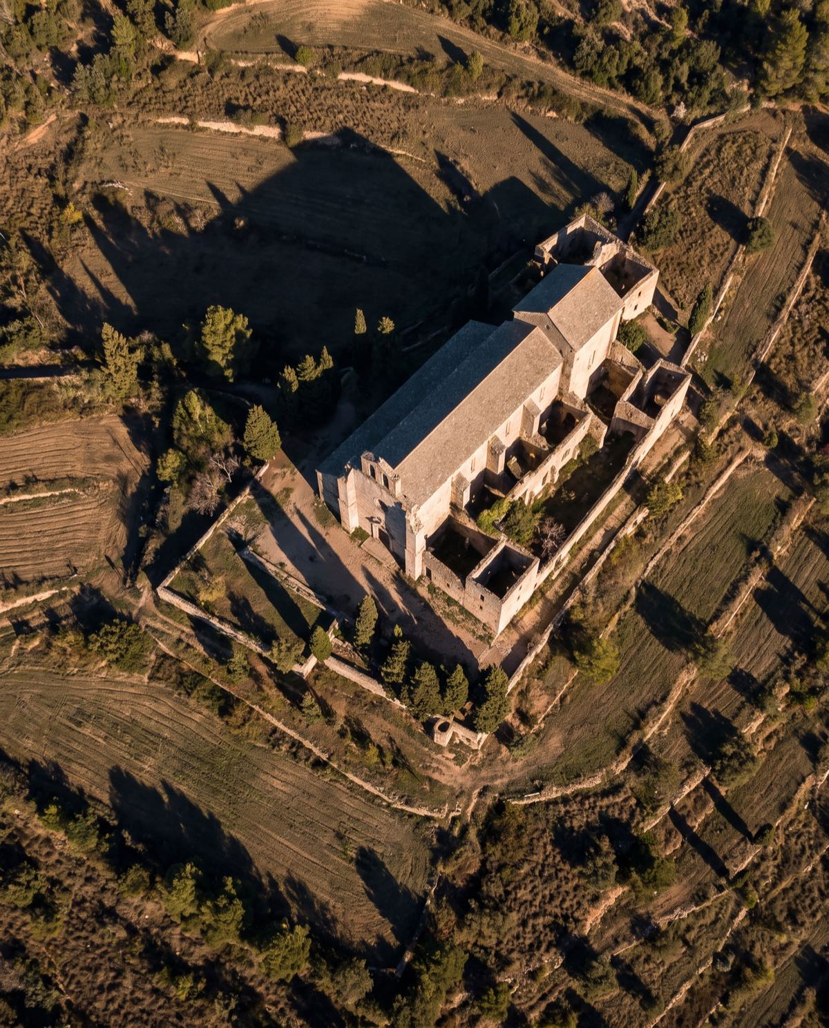 Drone 3D Modelling Photorealistic, measurable 3D models of buildings, sites and assets — built from aerial imagery for design, planning and visualisation.
 Ready to book topographic surveys?
Tell us the site and the job — we’ll confirm the flight plan, airspace and reporting window.