
Mapping & Surveying
Construction Site Surveys
Regular aerial site captures that track progress, measure earthworks and keep every stakeholder working from the same current data.
See your whole site, every capture
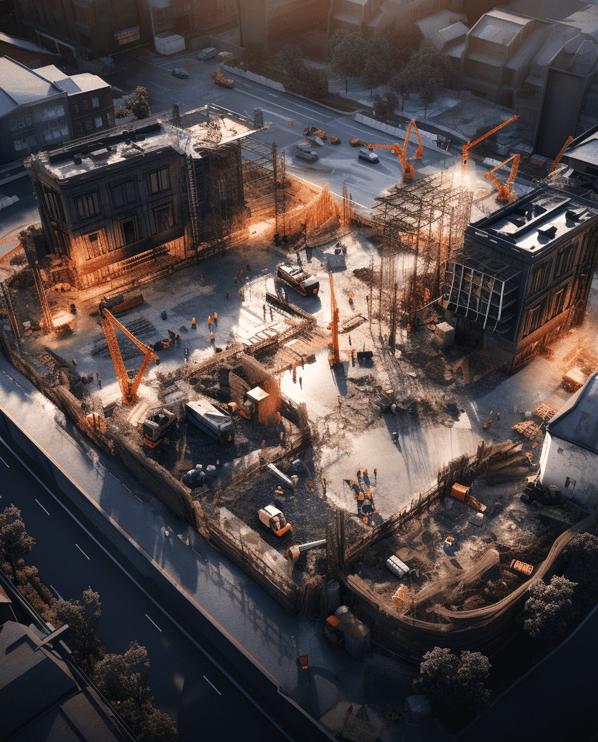
A drone construction site survey captures the entire project from the air on a regular cycle, turning each flight into a current, measurable record of progress. Rather than relying on scattered ground shots and out-of-date plans, your team works from a scaled orthomosaic, a site model and earthworks volumes that reflect the site exactly as it stood on the day of capture. Repeated weekly or monthly, it becomes a clear timeline of the build — useful for progress claims, coordination, dispute records and keeping head office in the loop.
Because the whole site is recorded in one flight, it’s a faster and safer way to survey an active site than sending people across live earthworks, and everyone from the surveyor to the client can work from the same data.
Who it’s for
- Construction and civil contractors tracking progress and earthworks
- Project managers and superintendents reporting to clients and head office
- Surveyors and QS teams needing repeatable site data and volumes
- Developers and asset owners documenting the build over time
Data captured and deliverables
Each capture is tied to ground control so models and volumes stay consistent between flights. You receive:
- A progress GeoTIFF orthomosaic of the whole site
- Surface models (DSM/DTM)
- An earthworks volume report (cut/fill in m³)
- A georeferenced point cloud (LAS/LAZ)
- A design overlay comparison against your CAD model
- A time-lapse capture set across the program
Why run surveys on a cycle
- Progress claims — back each claim with a dated, measurable record of what was actually built.
- Coordination — give designers, subcontractors and the client one current view instead of conflicting site reports.
- Earthworks tracking — measure cut-and-fill between captures to keep quantities honest.
- Dispute records — hold a time-stamped history of the site if questions arise later.
- Reporting — send head office and stakeholders a clear visual of the site without a trip to the field.
The cadence is yours — weekly through intensive earthworks, monthly through fit-out — and every capture compares cleanly to the last.
Our process
- Planning and GCPs — a repeatable flight plan and ground control are established for the site.
- Airspace check — airspace and any required approvals are confirmed for each capture.
- Capture — automated flight lines record the full site on your chosen cycle.
- Photogrammetry processing — imagery is built into the orthomosaic, surface models and volumes.
- QA — outputs are checked against control and against your design surface.
- Delivery — deliverables supplied in your formats, ready to compare to previous captures.
A note on accuracy
Accuracy of progress models and earthworks volumes depends on ground control, flight parameters, active site conditions and how the base and design surfaces are defined. Consistent surveyed control between flights gives reliable, comparable figures; captures without ground control carry larger uncertainty. We agree the method up front and report the accuracy achieved — measured figures, not blanket claims.
Airspace and CASA
Our CASA-certified pilots operate under CASA standard operating conditions. Active sites near controlled airspace, aerodromes or restricted areas are subject to CASA approval, which we assess and arrange as part of setting up the capture cycle. We confirm what’s achievable at your site before the first flight.
Set up your site captures
Running an active site? Contact us with the location, project size and how often you need data, and we’ll scope a repeatable survey program.
Flights are planned under CASA standard operating conditions. Work near controlled airspace or aerodromes is subject to CASA approval, checked per booking.
More in Mapping & Surveying
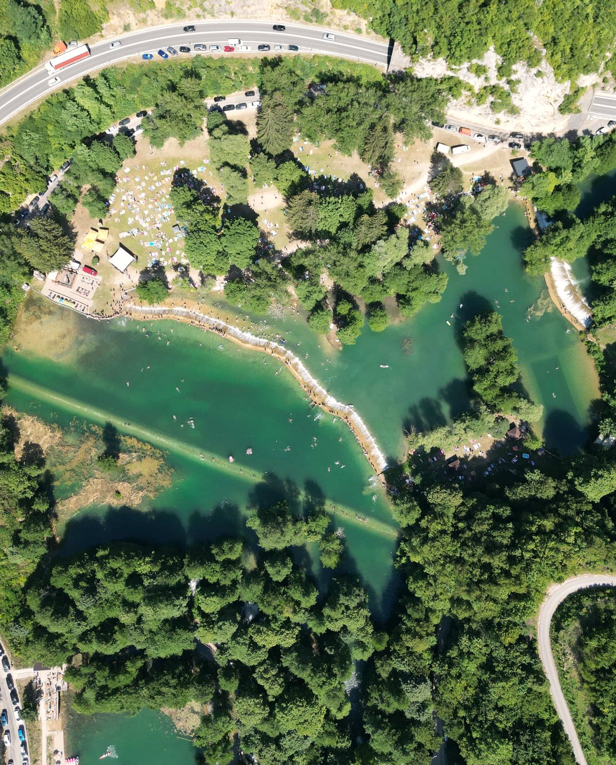 Drone Aerial Mapping High-resolution aerial mapping that turns a site into accurate, measurable geospatial data — captured in hours, not days.
 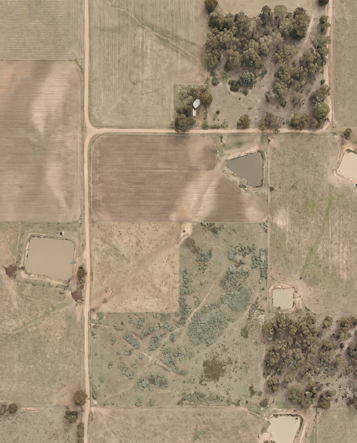 Orthomosaic Mapping Distortion-corrected, georeferenced aerial imagery you can measure directly — a true-to-scale base map of your entire site.
  Drone 3D Modelling Photorealistic, measurable 3D models of buildings, sites and assets — built from aerial imagery for design, planning and visualisation.
 Ready to book construction site surveys?
Tell us the site and the job — we’ll confirm the flight plan, airspace and reporting window.