Aerial Photography & Video
Construction Progress Photography
Scheduled aerial photography that documents a build from ground works to handover with consistent, dated, fixed-point records.
A clear, dated record of every stage
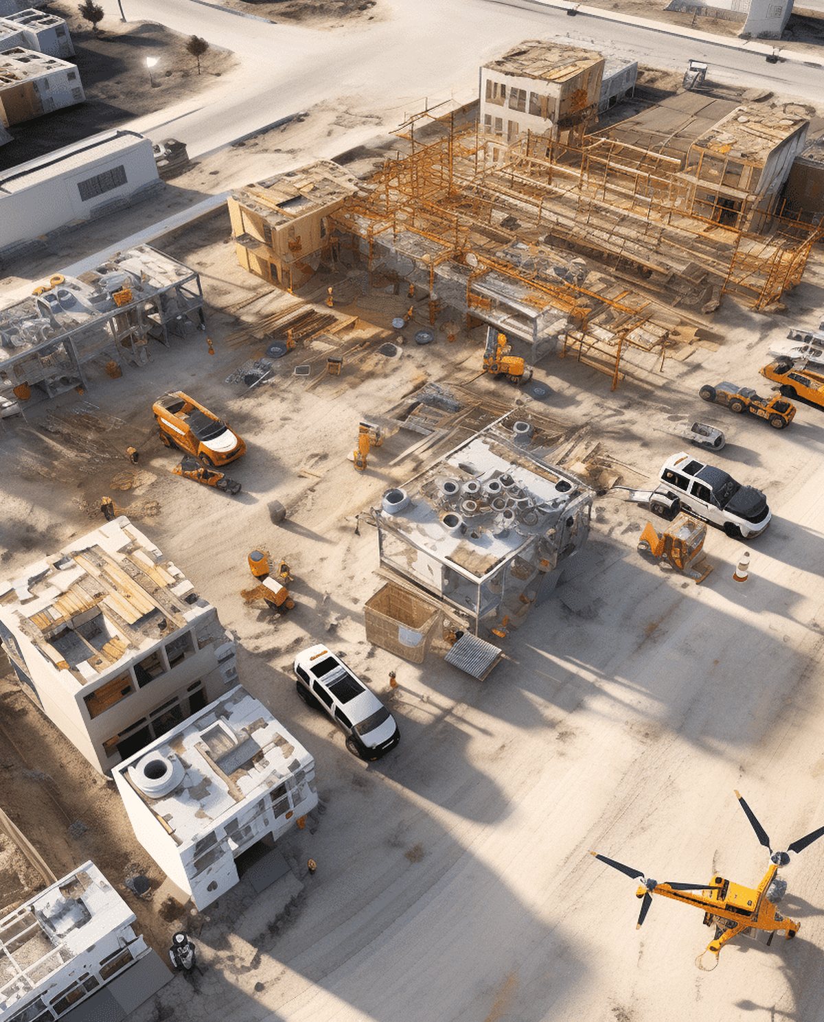
Aerial construction progress photography gives a project team the one view that makes progress obvious — the whole site from above, captured the same way each visit. Fixed-point images taken at a consistent altitude and angle let you compare month against month, verify staging, and hand stakeholders a clean visual record from ground works to completion. It’s documentation and marketing in one: proof of progress for the client, and a growing library of content for the developer.
We run scheduled visits across the life of a build, delivering dated, high-resolution sets you can drop straight into reports, updates and project reviews.
Why fixed-point capture matters
The value of progress photography lives in consistency. When every visit is flown to the same points, altitude and framing, the images line up into a true before-and-after sequence — you can slide from month one to month twelve and read exactly what changed. That comparability turns a folder of photos into a genuine record: useful for verifying staging against program, resolving questions about site conditions on a given date, and demonstrating progress to clients, financiers and stakeholders without a site visit. Loosely shot images taken from wherever the pilot happened to stand can’t do that. We establish the capture points at the first visit and hold them for the life of the project.
Who it’s for
- Developers and builders documenting milestones and staging
- Project managers maintaining a dated site record
- Civil and infrastructure contractors tracking large sites
- Marketing teams building a launch story from day one
What’s included
- Fixed-point stills captured at repeatable angles for true comparison
- Dated, high-resolution image sets for each visit
- A 4K site overview video on request
- Monthly progress galleries organised by date
- Consistent altitude and framing throughout the program
- An optional georeferenced overview for planning context
Beyond documentation, the same imagery earns its keep in marketing. A dated set captured from ground works through to handover becomes the raw material for a launch story, a time-lapse of the build, and social content that lets prospective buyers or tenants watch a project take shape. One capture program feeds both the project file and the campaign. Delivered promptly after each visit, the sets also keep remote stakeholders and off-site directors current without another trip to a live, restricted site — a practical saving on projects where access is controlled and every visit has to be inducted and scheduled.
Our process
- Brief — we set the capture points, schedule and reporting needs.
- Site and airspace check — site access, safety zones and the airspace overhead are confirmed for each visit.
- Shoot — repeatable flights flown to the agreed points and altitude.
- Edit — selection, grading and dated organisation.
- Delivery — galleries supplied within 24–48 hours of each visit.
Airspace and safety
Our CASA-certified pilots operate under CASA standard operating conditions. Active construction sites and any surrounding controlled airspace near aerodromes are assessed live for every booking, and flights in restricted areas are subject to CASA approval. We coordinate with your site safety requirements and confirm access and exclusion zones before each visit.
Request a quote
Starting a build you want documented properly? Request a quote with the site location and program length, and we’ll set up a capture schedule.
Flights are planned under CASA standard operating conditions. Work near controlled airspace or aerodromes is subject to CASA approval, checked per booking.
More in Aerial Photography & Video
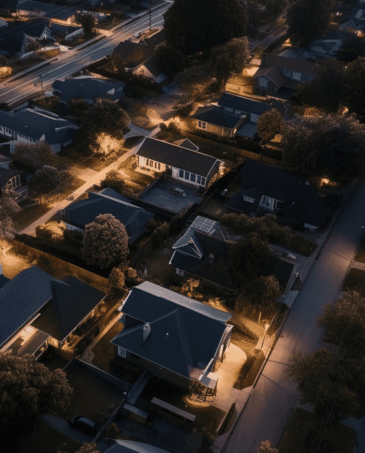 Drone Real Estate Photography High-resolution aerial stills that frame the whole property, its boundaries and lifestyle setting to move listings faster.
 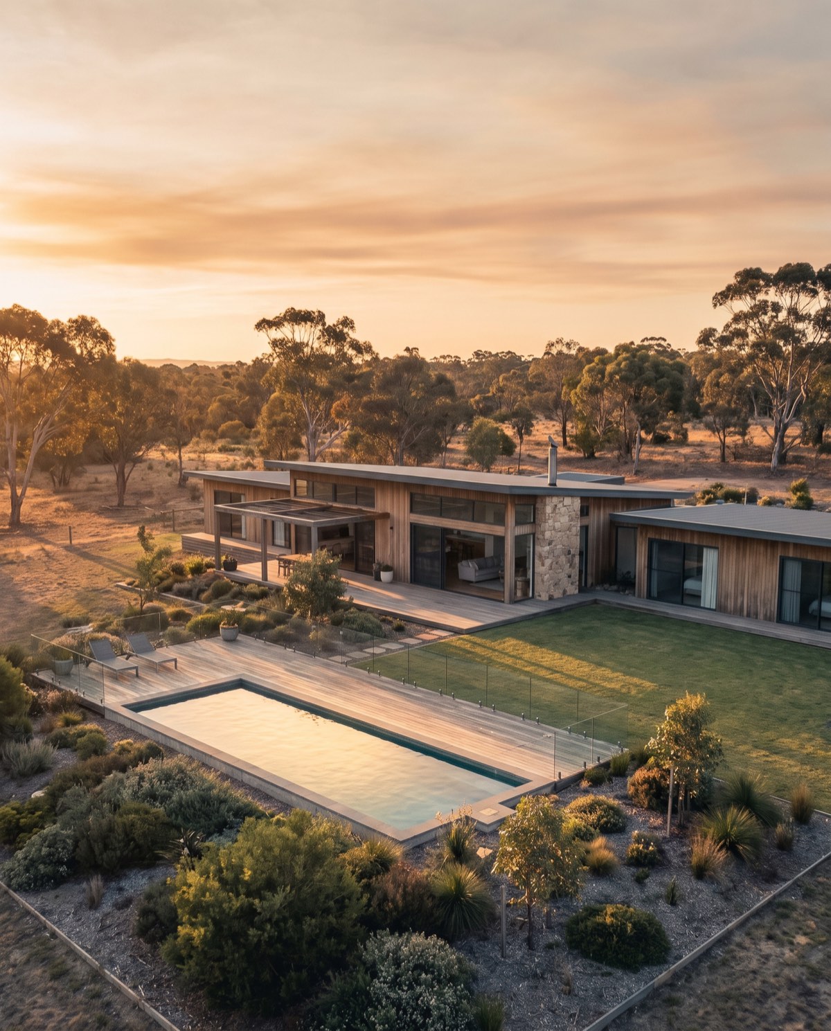 Drone Real Estate Video Cinematic aerial video that walks buyers through a property, its grounds and its setting in one continuous, motion-led story.
 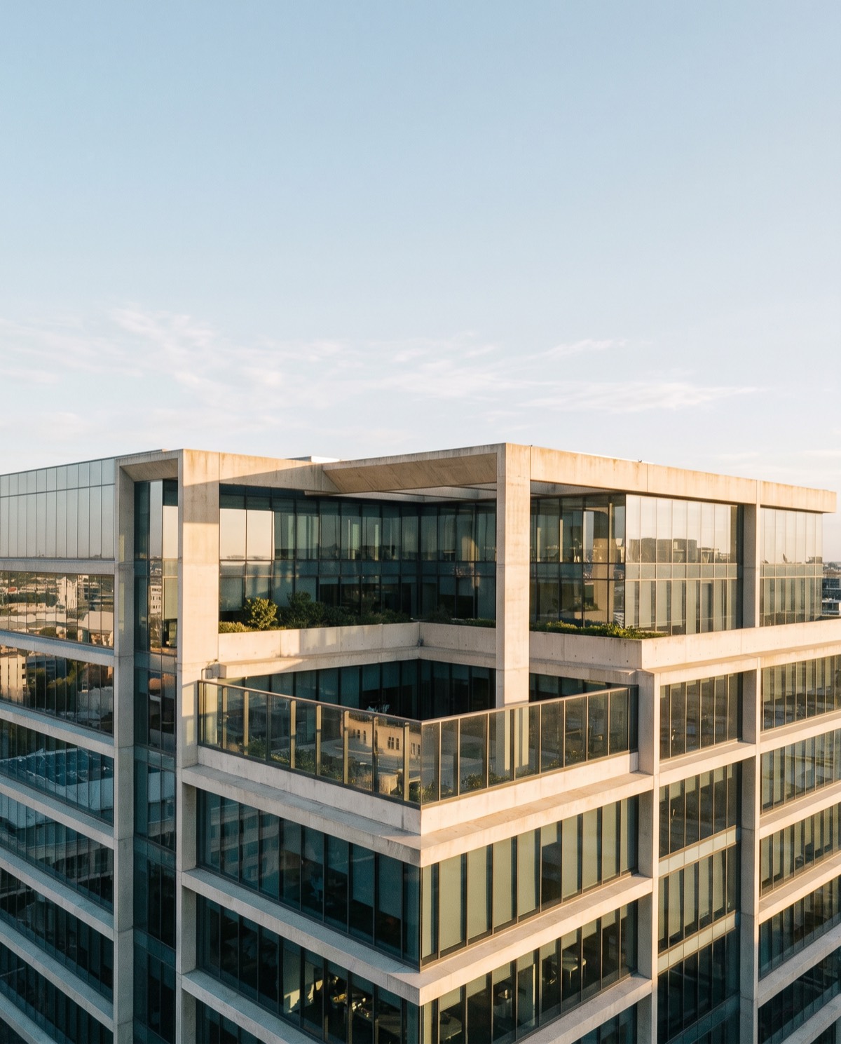 Commercial Drone Promo Video Aerial promotional video that gives a brand scale, movement and production value across web, social and campaign channels.
 Ready to book construction progress photography?
Tell us the site and the job — we’ll confirm the flight plan, airspace and reporting window.