Aerial Photography & Video
Aerial Architectural Photography
Precise aerial photography that presents a building's form, scale and relationship to its site for architects, builders and portfolios.
Show the building as it was designed to be seen
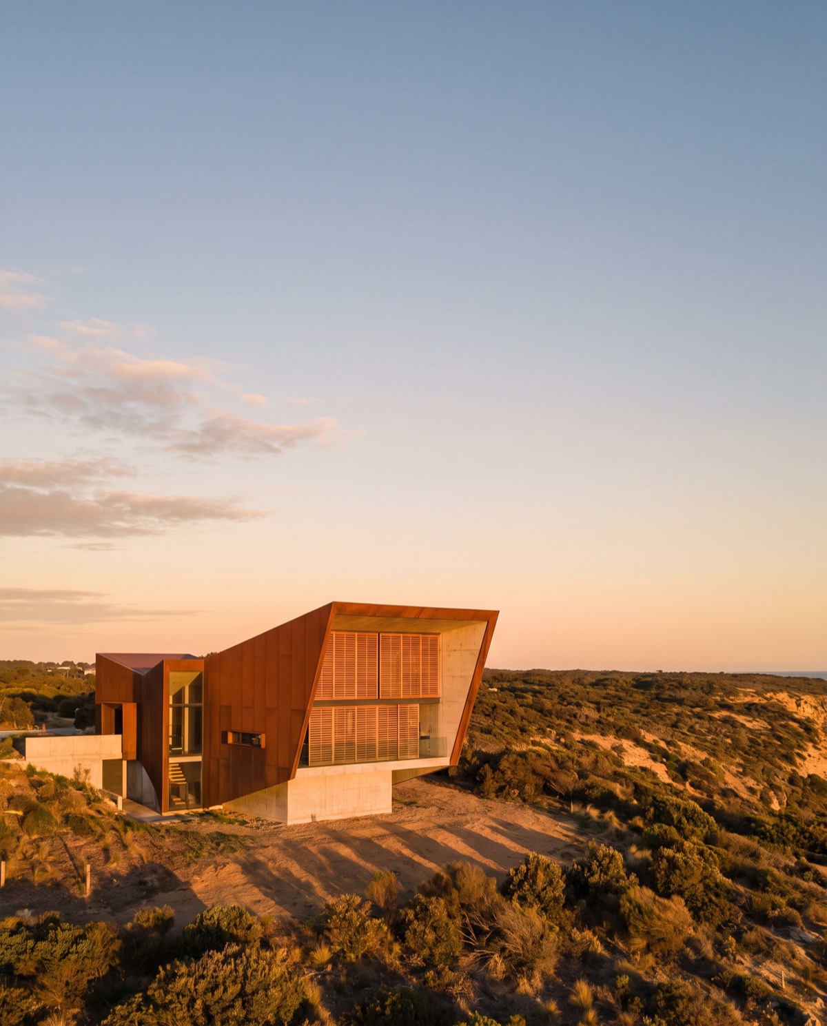
Aerial architectural photography reveals what a project deserves to be judged on — its form, its geometry and its relationship to the site. Elevated angles capture rooflines, massing and the way a building sits in its surrounds, while considered framing keeps lines true and proportions honest. For architects, builders and designers, it’s the difference between a portfolio that documents a project and one that presents it.
We photograph structures with a deliberate, editorial eye: clean compositions, correct perspective, and a grade that respects the materials rather than exaggerating them.
Reading a building from the air
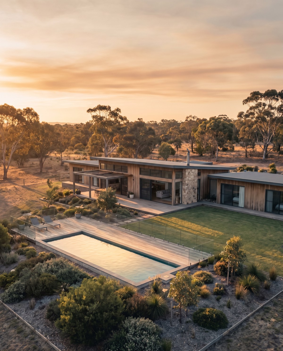
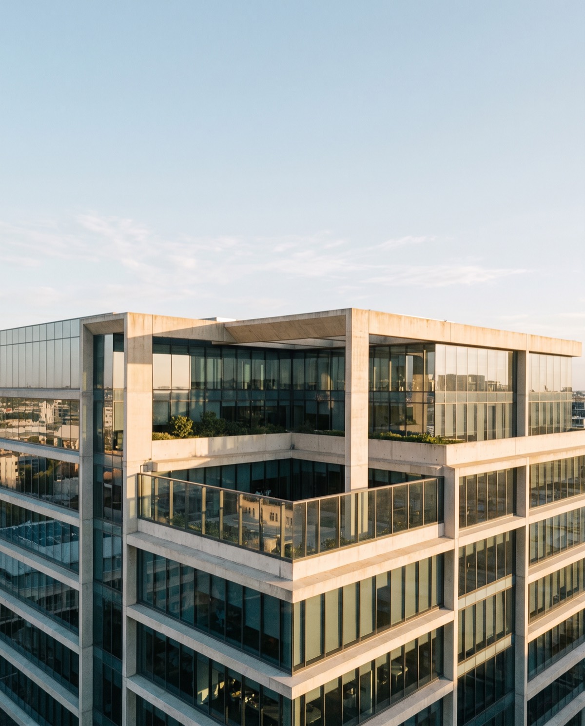
A building is a three-dimensional argument, and the ground rarely lets you see the whole of it. Aerial angles resolve that — a slightly elevated frame straightens the relationship between planes, reveals a roof form that defines the design, and shows how the structure meets its landscape. For a courtyard house, a stepped facade or a building that responds to its site, the aerial view is often the only one that makes the concept legible. We work the height and distance deliberately: high enough to read the massing, low enough to hold detail, and always squared to keep verticals honest. The intent is documentation an architect would be comfortable submitting for an award, not a distorted wide-angle that flatters at the expense of truth.
Who it’s for
- Architects and design studios building award and portfolio content
- Builders and developers presenting completed projects
- Commercial property owners marketing a landmark asset
- Landscape and urban designers documenting a site in context
What’s included
- High-resolution edited stills with a clean, editorial finish
- RAW files supplied on request
- Elevation and plan-view angles that read the design clearly
- Perspective-corrected finals with true verticals
- A mix of context and detail frames
- Portfolio- and print-ready exports at full resolution
Perspective correction is done with restraint — enough to true the verticals and respect the geometry, without the over-processed look that dates a portfolio. We grade to the real palette of the materials, letting concrete, timber, steel and glass read as they were specified. Where a project benefits from it, we can supply a matched set spanning wide context frames down to close detail on a junction or facade treatment. Consistency across that set matters for publication: an editor or awards panel sees a coherent body of images rather than a handful of disconnected angles, which does more to communicate the quality of the work.
Our process
- Brief — we discuss the design intent, key angles and how the images will be used.
- Site and airspace check — access, sun position and the airspace over the site are confirmed in advance.
- Shoot — planned elevation, context and detail frames captured in favourable light.
- Edit — selection, perspective correction and grading.
- Delivery — a downloadable gallery, typically within 48–72 hours.
Airspace and safety
Our CASA-certified pilots operate under CASA standard operating conditions. Urban and built-up sites, and any surrounding controlled airspace near aerodromes, are assessed live for every booking, with flights in restricted areas subject to CASA approval. We confirm the angles achievable at your site and plan access before the shoot.
Request a quote
Have a project worth presenting properly? Request a quote with the site details and how you’ll use the images, and we’ll plan the shoot.
Flights are planned under CASA standard operating conditions. Work near controlled airspace or aerodromes is subject to CASA approval, checked per booking.
More in Aerial Photography & Video
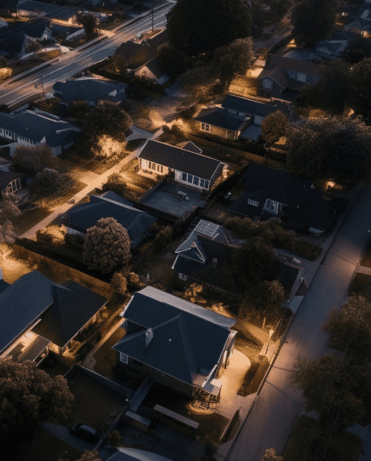 Drone Real Estate Photography High-resolution aerial stills that frame the whole property, its boundaries and lifestyle setting to move listings faster.
  Drone Real Estate Video Cinematic aerial video that walks buyers through a property, its grounds and its setting in one continuous, motion-led story.
  Commercial Drone Promo Video Aerial promotional video that gives a brand scale, movement and production value across web, social and campaign channels.
 Ready to book aerial architectural photography?
Tell us the site and the job — we’ll confirm the flight plan, airspace and reporting window.