

Drone Inspections
Drone Thermal Imaging Inspections
Radiometric aerial thermal surveys that reveal heat, moisture and electrical anomalies invisible to a standard visual inspection.
See the heat a visual inspection misses
Drone thermal imaging inspections reveal the temperature patterns behind a problem — trapped moisture, heat loss, overloaded electrical connections and failing components — that a standard visual survey simply can’t show. Using radiometric sensors flown at height, we record measured temperature data across a roof, façade, array or asset, then map each anomaly to its exact location. The result is a clear thermal picture of where something is running hotter or cooler than it should.
For maintenance and asset teams, that means earlier detection, better-targeted repairs, and objective data behind every decision.
Who it’s for
- Facilities and maintenance managers monitoring building and plant condition
- Solar operators checking arrays for hot spots and faulty modules
- Electrical contractors surveying switchboards, connections and equipment
- Roofing and building specialists locating moisture ingress and heat loss
- Asset owners wanting an objective, repeatable thermal baseline
What’s captured and delivered
We fly radiometric thermal sensors, meaning each pixel carries measured temperature data rather than a false-colour picture alone. Every thermal frame is paired with a matching visual reference. You receive:
- Radiometric thermal imagery with measured temperature values
- Anomaly identification with delta-T (temperature difference) readings
- A geotagged log of thermal findings
- Side-by-side visual and thermal reference frames
- A thermal orthomosaic map for larger sites
- An annotated PDF thermal report
All readings are reported as measured values and anomaly patterns — indicative aerial data that identifies thermal anomalies for further assessment. Diagnosis and rectification, particularly of electrical faults, should be carried out by the relevant licensed trade or engineer.
Our process
- Scope — you share the asset, what you’re looking for and any known issues.
- Site and airspace check — we confirm access, weather and the airspace over the site; thermal contrast is strongest in stable, clear conditions.
- Capture — a radiometric thermal flight with paired visual imagery.
- Analysis — we review the data, measure anomalies and mark delta-T against location.
- Reporting — a geotagged findings log and annotated PDF, typically within 3–5 business days.
Why it’s worth it
Thermal surveying catches developing faults before they become failures, targets maintenance spend where it’s actually needed, and reduces the downtime and access effort of manual investigation. Because readings are measured, you build a repeatable thermal baseline you can compare over time.
Flying the sensor also opens up assets that a handheld survey struggles to reach — large roofs, elevated switchgear, tank tops and wide arrays covered from a safe standoff in a single pass. Delivering measured delta-T against a matching visual frame means findings aren’t just a colourful picture; they’re numbers your engineers and trades can act on. That combination makes thermal imaging a practical first step in a condition-monitoring program rather than a one-off diagnostic.
Airspace and safety
Our CASA-certified pilots operate under CASA standard operating conditions, keeping a 30m separation from people not involved in the operation. Airspace near controlled zones and aerodromes is checked live for every booking, and flights in those areas are subject to CASA approval. We confirm what’s achievable at your site before we attend.
Book a thermal inspection
Want to see what’s heating up before it fails? Request a quote with the asset type and site address, and we’ll confirm the flight plan and reporting window.
Flights are planned under CASA standard operating conditions. Work near controlled airspace or aerodromes is subject to CASA approval, checked per booking.
More in Drone Inspections
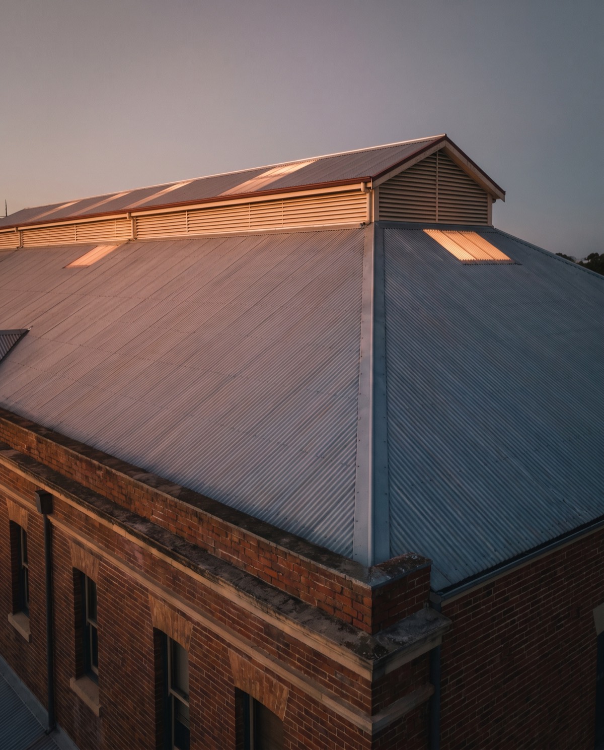
 Drone Roof Inspections Fast aerial roof condition surveys that replace ladders and rope access with high-resolution visual and thermal data.
 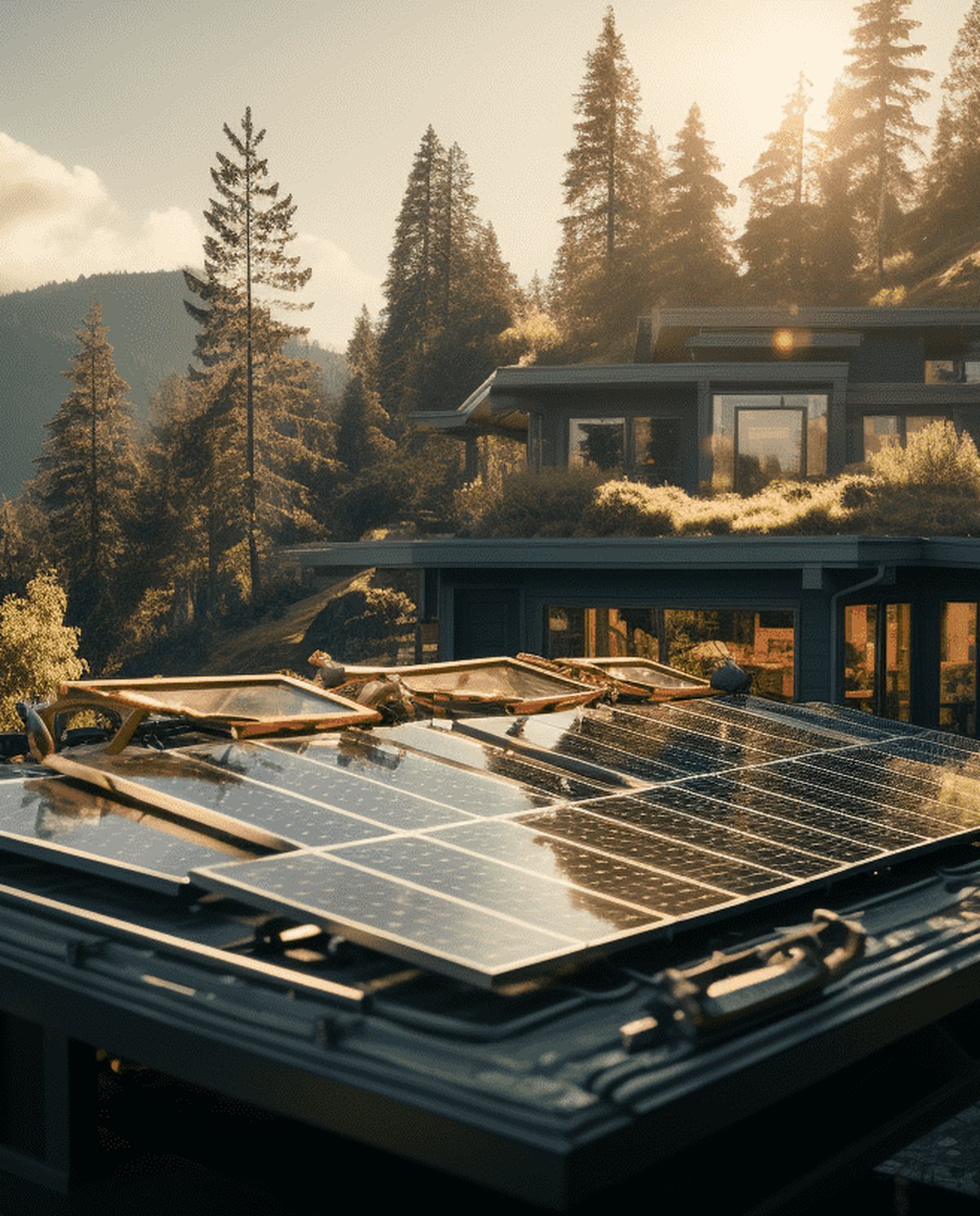 Drone Solar Panel Inspections Aerial thermal surveys that pinpoint underperforming modules and hot spots across solar arrays without manual panel-by-panel access.
 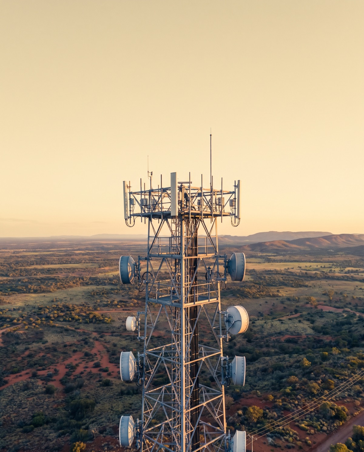 Drone Telecommunications Tower Inspections Close-range aerial surveys of towers, antennas and mounts that reduce rigger climbs and keep crews safely on the ground.
 Ready to book drone thermal imaging inspections?
Tell us the site and the job — we’ll confirm the flight plan, airspace and reporting window.