
Drone Inspections
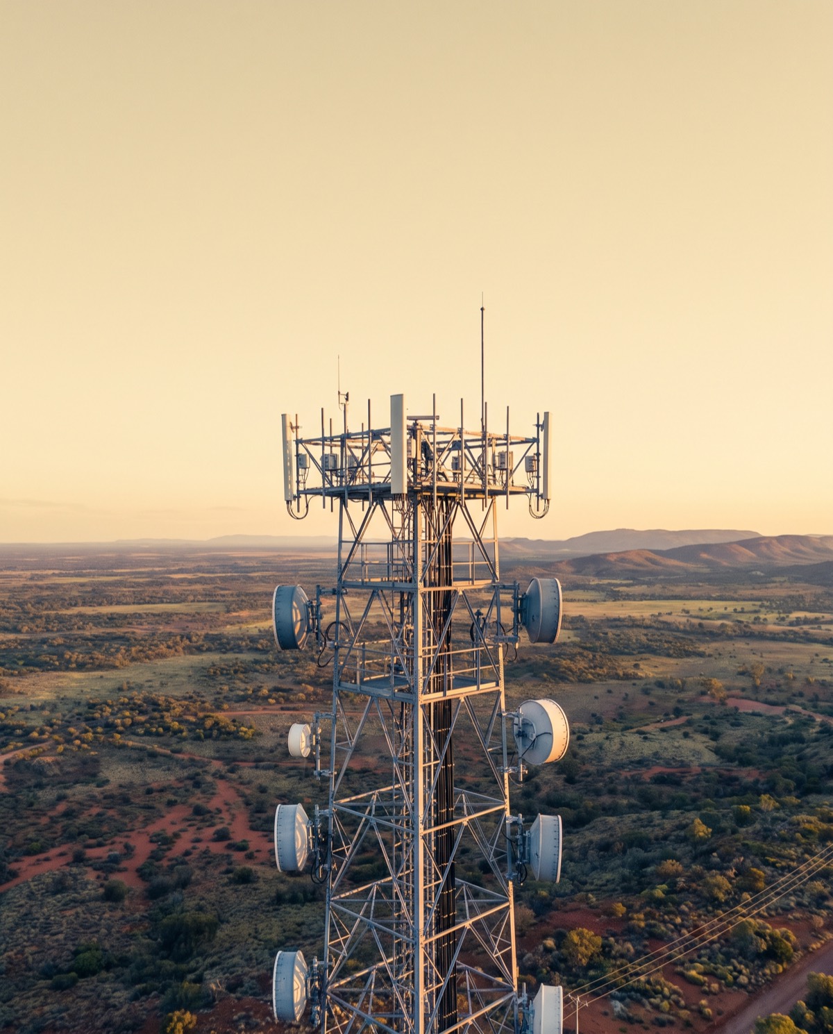
Drone Telecommunications Tower Inspections
Close-range aerial surveys of towers, antennas and mounts that reduce rigger climbs and keep crews safely on the ground.
Inspect the tower without the climb
Drone telecommunications tower inspections capture the full height of a structure — antennas, mounts, feeders, brackets and steelwork — without sending a rigger up the mast for the initial survey. In one flight we record close-range visual detail across the entire tower, so condition assessment, asset verification and fault-finding start from clear, current imagery rather than a climb.
For carriers and tower owners, that means fewer access requirements, faster turnaround on condition data, and no working-at-height exposure for personnel during the survey stage.
Who it’s for
- Telcos and carriers managing network infrastructure
- Tower owners and infrastructure operators tracking asset condition
- Tower construction and maintenance contractors scoping works
- Network engineers verifying antenna placement and mounting
- Asset managers building a documented inspection history
What’s captured and delivered
We combine high-resolution visual imagery with radiometric thermal capture, so both physical condition and heat signatures at connections and equipment are recorded. You receive:
- High-resolution stills of antennas, mounts and structural members
- Radiometric thermal imagery of connections and active equipment
- A geotagged defect and asset log
- A record of antenna orientation and mounting condition
- An annotated PDF inspection report
Findings are provided as indicative aerial data that identifies visible and thermal anomalies for further assessment. Where a structural engineering assessment, RF safety review or certified inspection is required, our imagery supports and directs that work rather than replacing it.
Our process
- Scope — you share the tower type, height and what you need documented.
- Site and airspace check — we confirm access and the airspace over the site, which matters given many towers sit near controlled zones.
- Capture — a structured flight covering the full height and all faces of the tower.
- Analysis — we review imagery and mark anomalies and asset details.
- Reporting — a geotagged log and annotated PDF, typically within 3–5 business days.
Why it’s worth it
Aerial inspection reduces the number of climbs a crew needs to make, cutting access costs and reducing downtime on active sites. It removes working-at-height risk for personnel during survey work and delivers a repeatable, time-stamped record you can compare across maintenance cycles.
It also front-loads the planning. When a climb is genuinely needed, your rigger already knows the condition of the mounts, the state of the feeder runs and which fixings look degraded — so the visit is shorter, better prepared and safer. Because RF-emitting equipment stays live, keeping the initial survey airborne avoids scheduling around transmitter shutdowns for routine condition checks. Across a network, that consistency turns tower condition into comparable data rather than a patchwork of individual climb reports, so recurring issues and ageing assets are easier to spot and prioritise for capital planning.
Airspace and safety
Our CASA-certified pilots operate under CASA standard operating conditions, keeping a 30m separation from people not involved in the operation. Telecommunications towers frequently sit near controlled or aerodrome airspace, so airspace status is checked live for every booking and flights in those areas are subject to CASA approval. We confirm what’s achievable at your site before we attend.
Book a tower inspection
Need current condition data without scheduling a climb first? Request a quote with the tower location and type, and we’ll confirm the flight plan and reporting window.
Flights are planned under CASA standard operating conditions. Work near controlled airspace or aerodromes is subject to CASA approval, checked per booking.
More in Drone Inspections
 Drone Roof Inspections Fast aerial roof condition surveys that replace ladders and rope access with high-resolution visual and thermal data.
 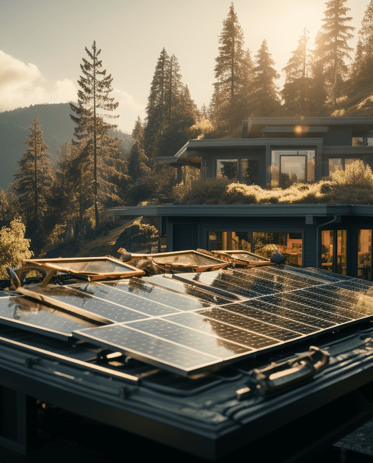 Drone Solar Panel Inspections Aerial thermal surveys that pinpoint underperforming modules and hot spots across solar arrays without manual panel-by-panel access.
 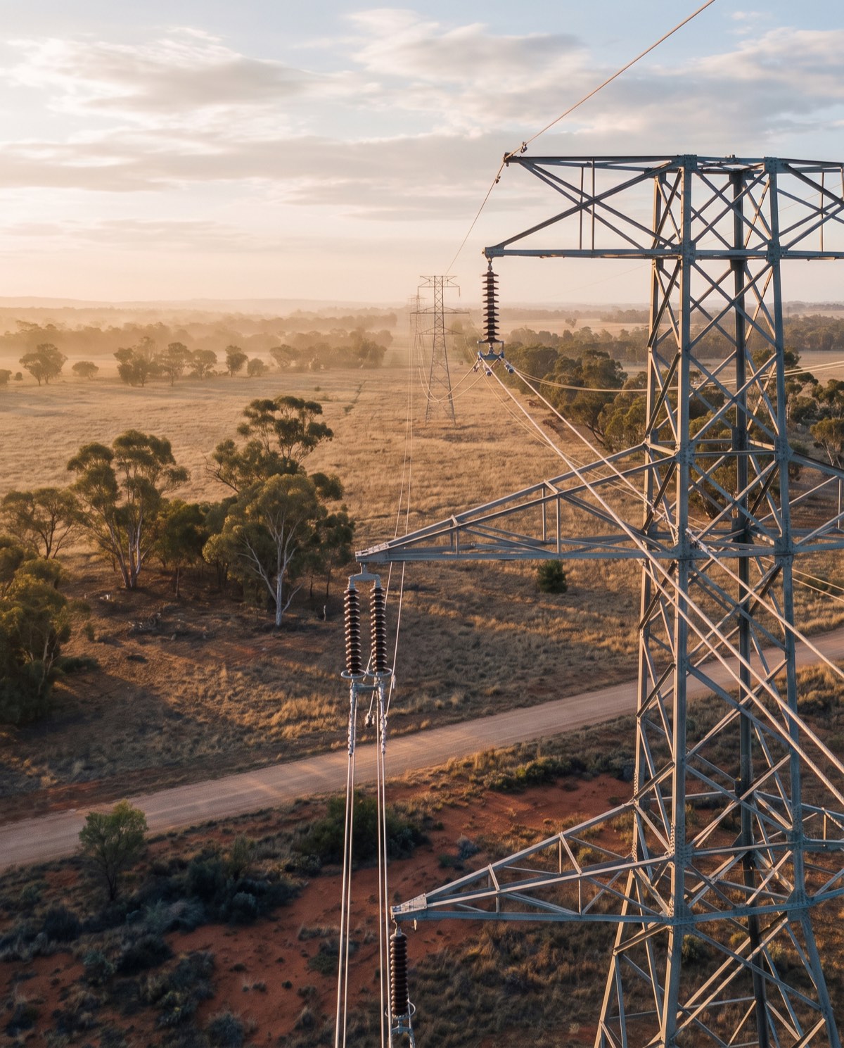 Drone Powerline Inspections Aerial visual and thermal surveys of powerlines, poles and hardware that keep crews clear of live infrastructure and difficult terrain.
 Ready to book drone telecommunications tower inspections?
Tell us the site and the job — we’ll confirm the flight plan, airspace and reporting window.