What we do
Three pillars, one flight crew
Every job on this site is flown by the same CASA-registered crew — from a single real estate shoot to a multi-hectare topographic survey.
PILLAR 01
Aerial Photography & Video
Cinematic stills and film for property, marketing and events.
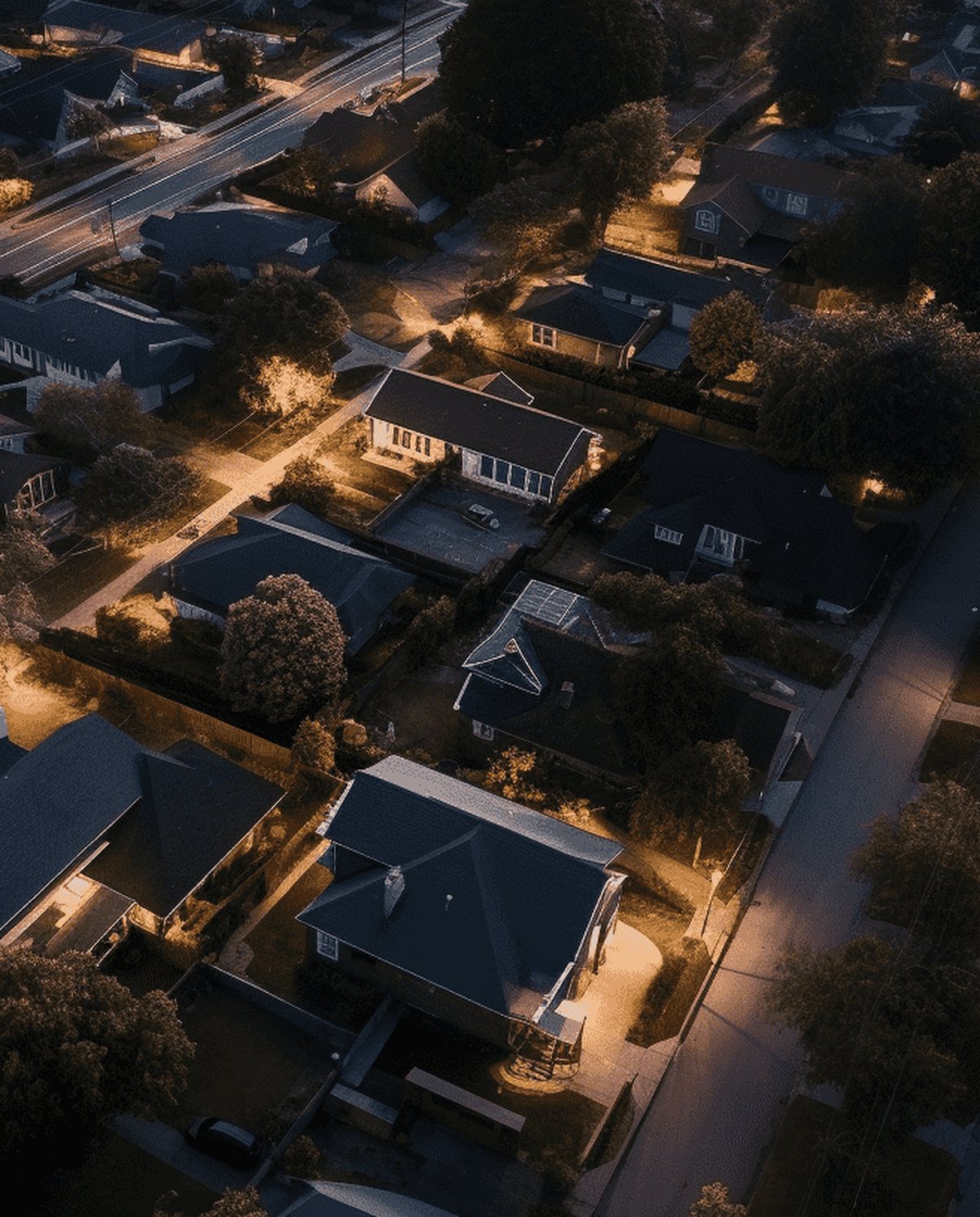 Drone Real Estate Photography High-resolution aerial stills that frame the whole property, its boundaries and lifestyle setting to move listings faster.
 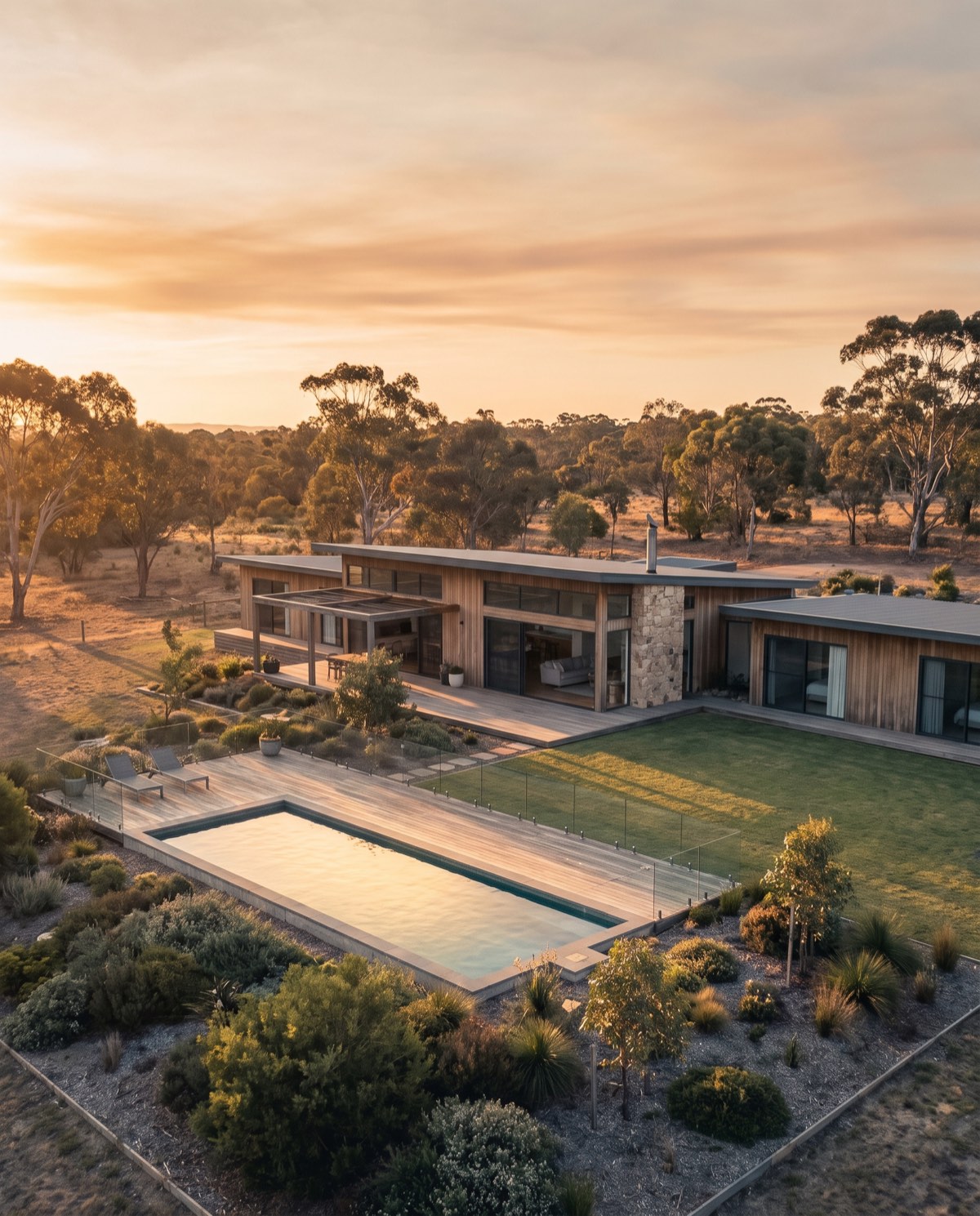 Drone Real Estate Video Cinematic aerial video that walks buyers through a property, its grounds and its setting in one continuous, motion-led story.
  Commercial Drone Promo Video Aerial promotional video that gives a brand scale, movement and production value across web, social and campaign channels.
  Aerial Event Coverage Aerial event coverage that captures the scale, atmosphere and full turnout of an occasion from a perspective the crowd never sees.
 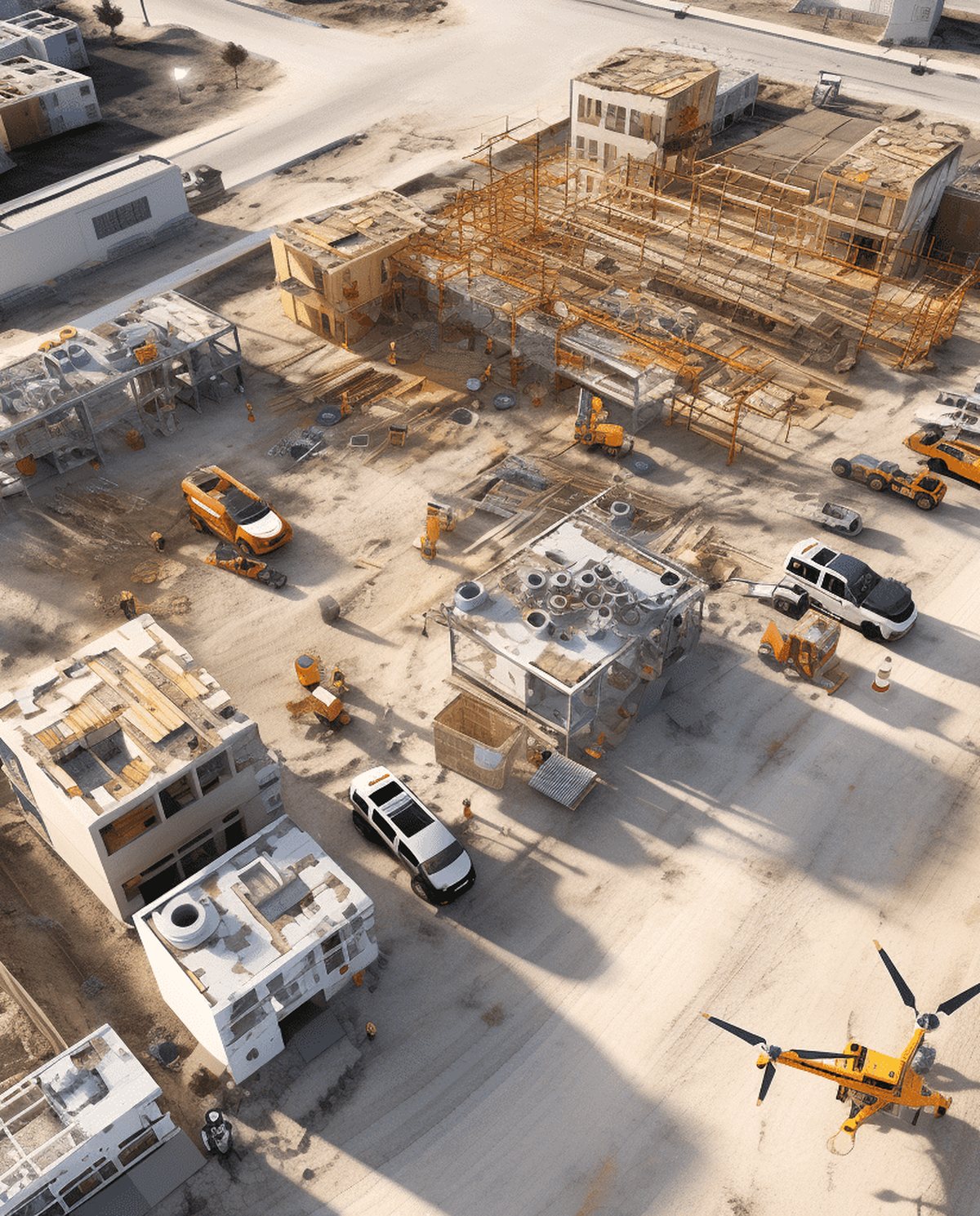 Construction Progress Photography Scheduled aerial photography that documents a build from ground works to handover with consistent, dated, fixed-point records.
  Tourism & Hospitality Aerial Marketing Aerial content that sells a destination, venue or stay by capturing its setting, surrounds and sense of place from above.
 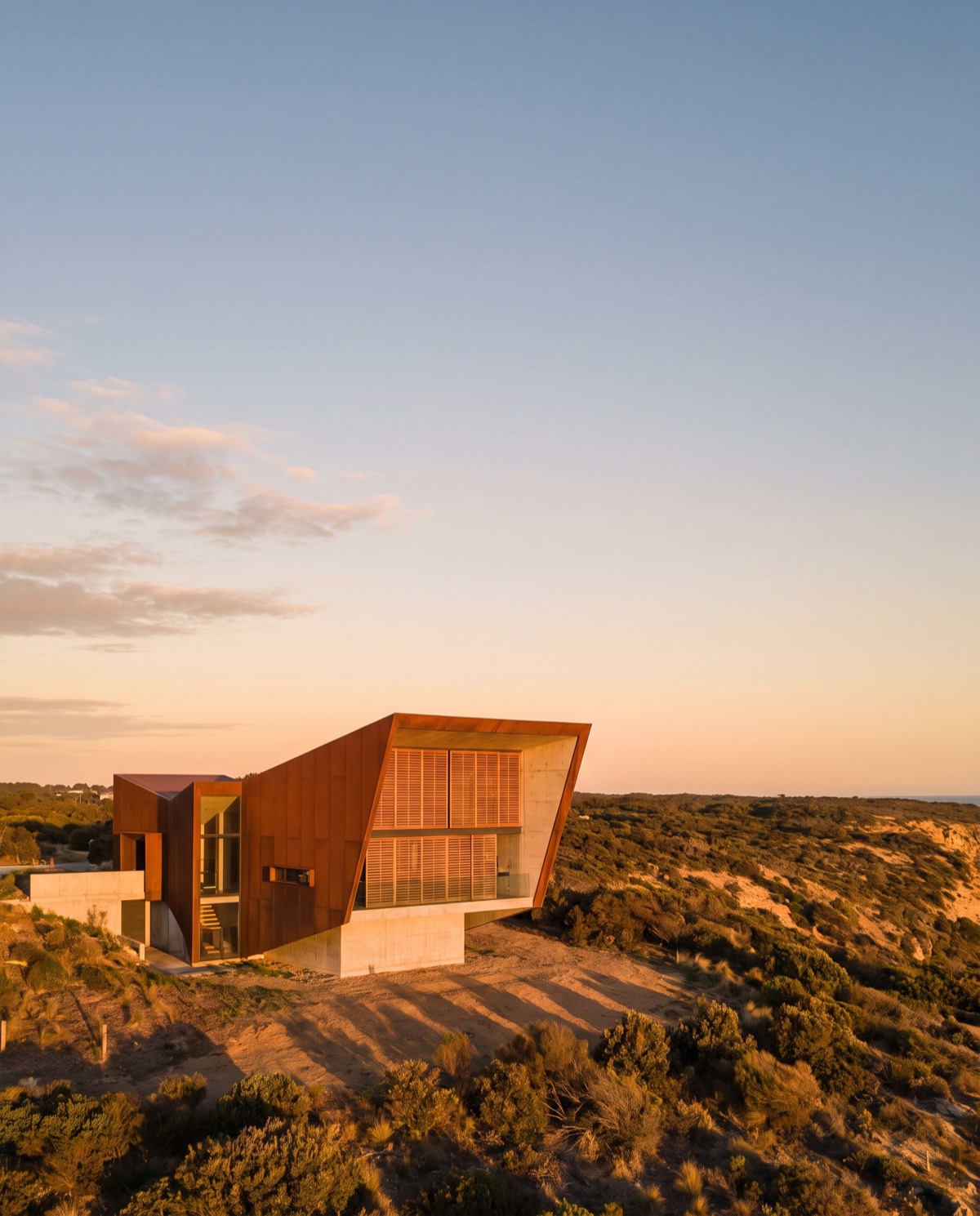 Aerial Architectural Photography Precise aerial photography that presents a building's form, scale and relationship to its site for architects, builders and portfolios.
 PILLAR 02
Drone Inspections
Fast, safe visual and thermal data — no working at height.
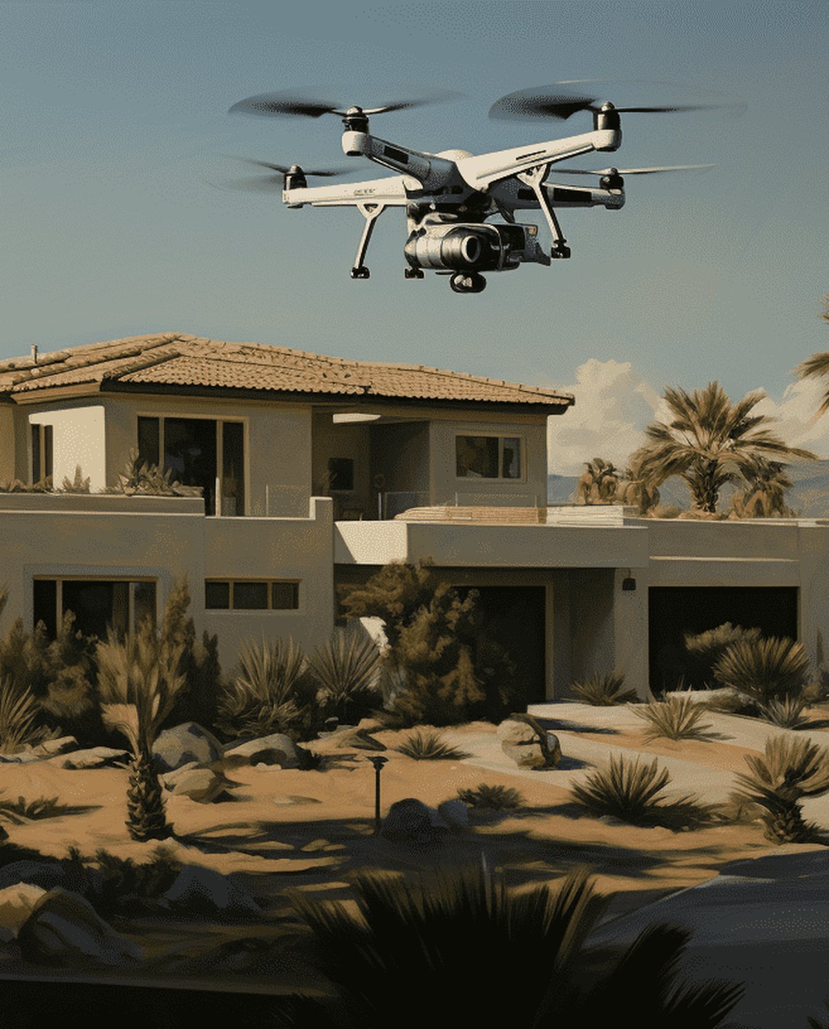 Drone Roof Inspections Fast aerial roof condition surveys that replace ladders and rope access with high-resolution visual and thermal data.
 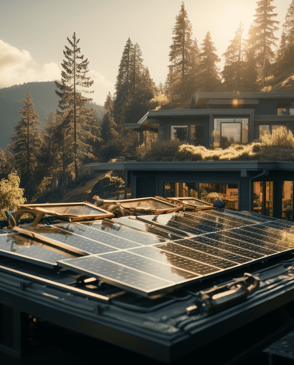 Drone Solar Panel Inspections Aerial thermal surveys that pinpoint underperforming modules and hot spots across solar arrays without manual panel-by-panel access.
 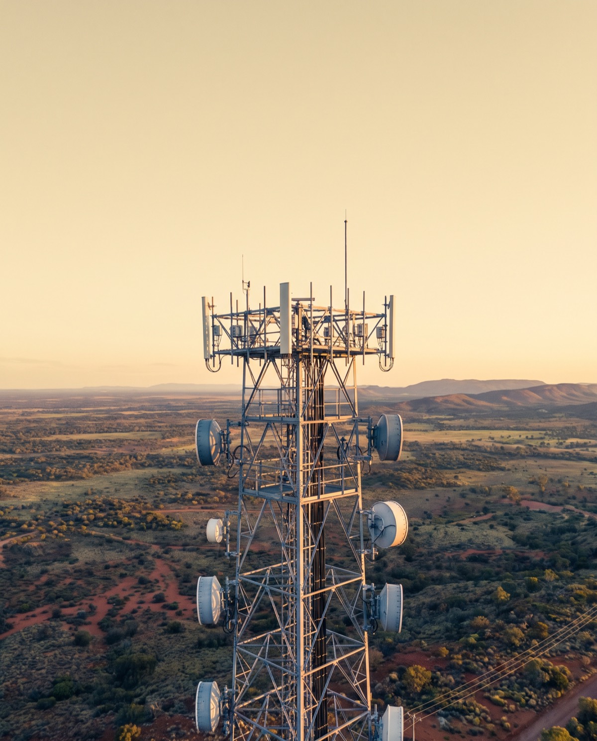 Drone Telecommunications Tower Inspections Close-range aerial surveys of towers, antennas and mounts that reduce rigger climbs and keep crews safely on the ground.
 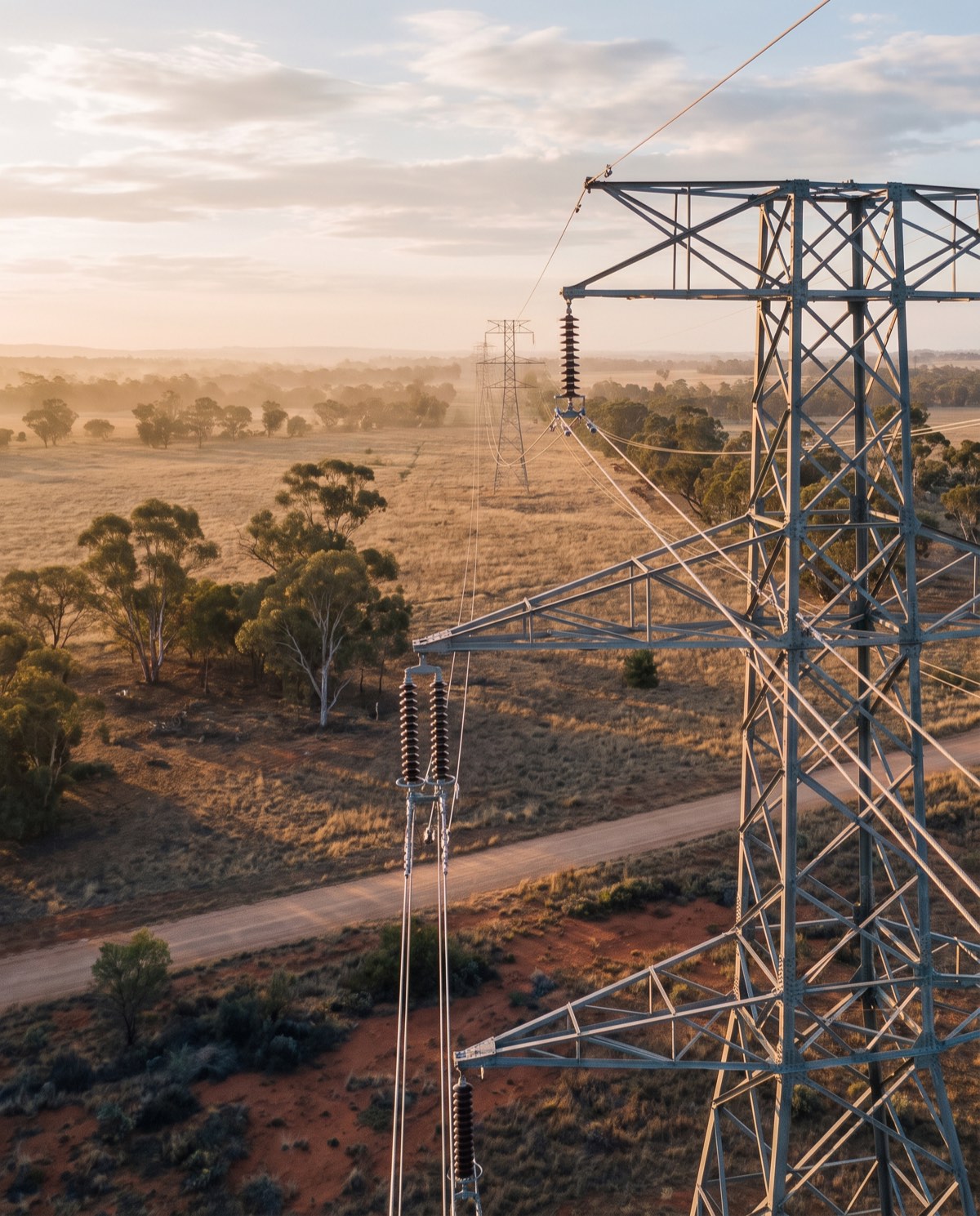 Drone Powerline Inspections Aerial visual and thermal surveys of powerlines, poles and hardware that keep crews clear of live infrastructure and difficult terrain.
 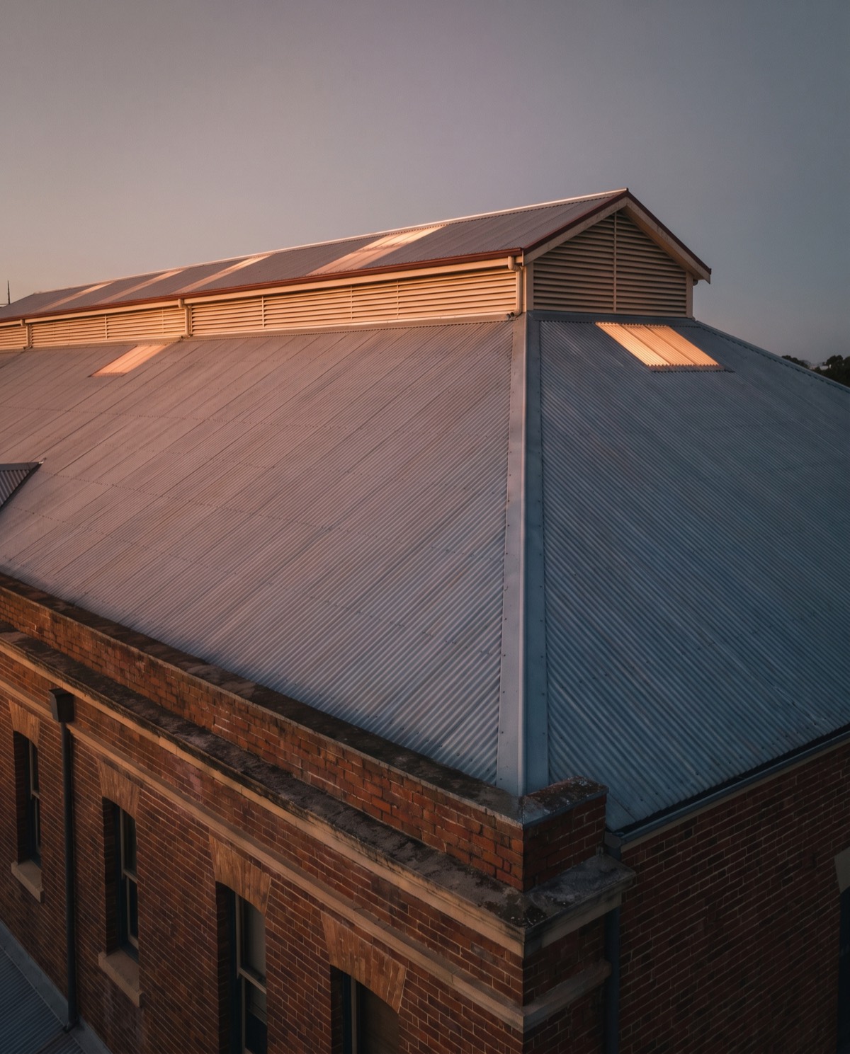 Drone Thermal Imaging Inspections Radiometric aerial thermal surveys that reveal heat, moisture and electrical anomalies invisible to a standard visual inspection.
 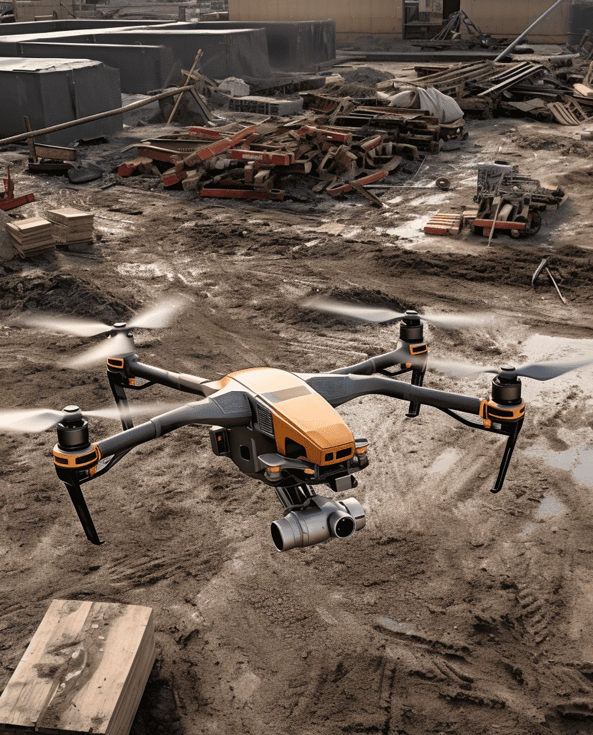 Drone Industrial Asset Inspections Aerial condition surveys of tanks, stacks, silos and plant that replace scaffold and rope access with fast, geotagged data.
 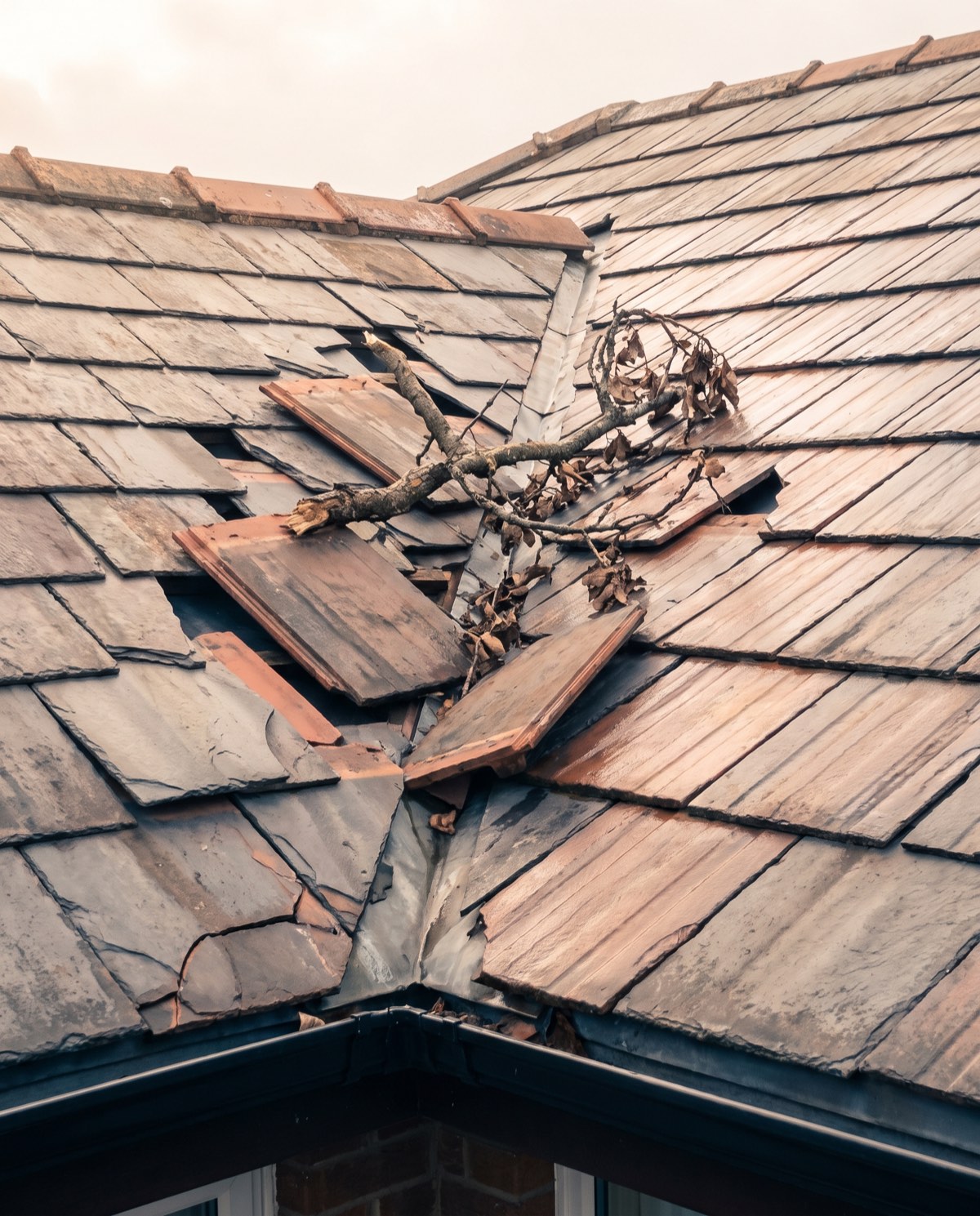 Drone Insurance Inspections Dated, geotagged aerial documentation of property condition and damage that gives insurers and assessors clear, safe-to-capture evidence.
 PILLAR 03
Mapping & Surveying
Survey-grade orthomosaics, 3D models and volumetrics.
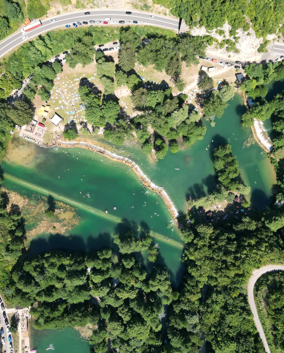 Drone Aerial Mapping High-resolution aerial mapping that turns a site into accurate, measurable geospatial data — captured in hours, not days.
 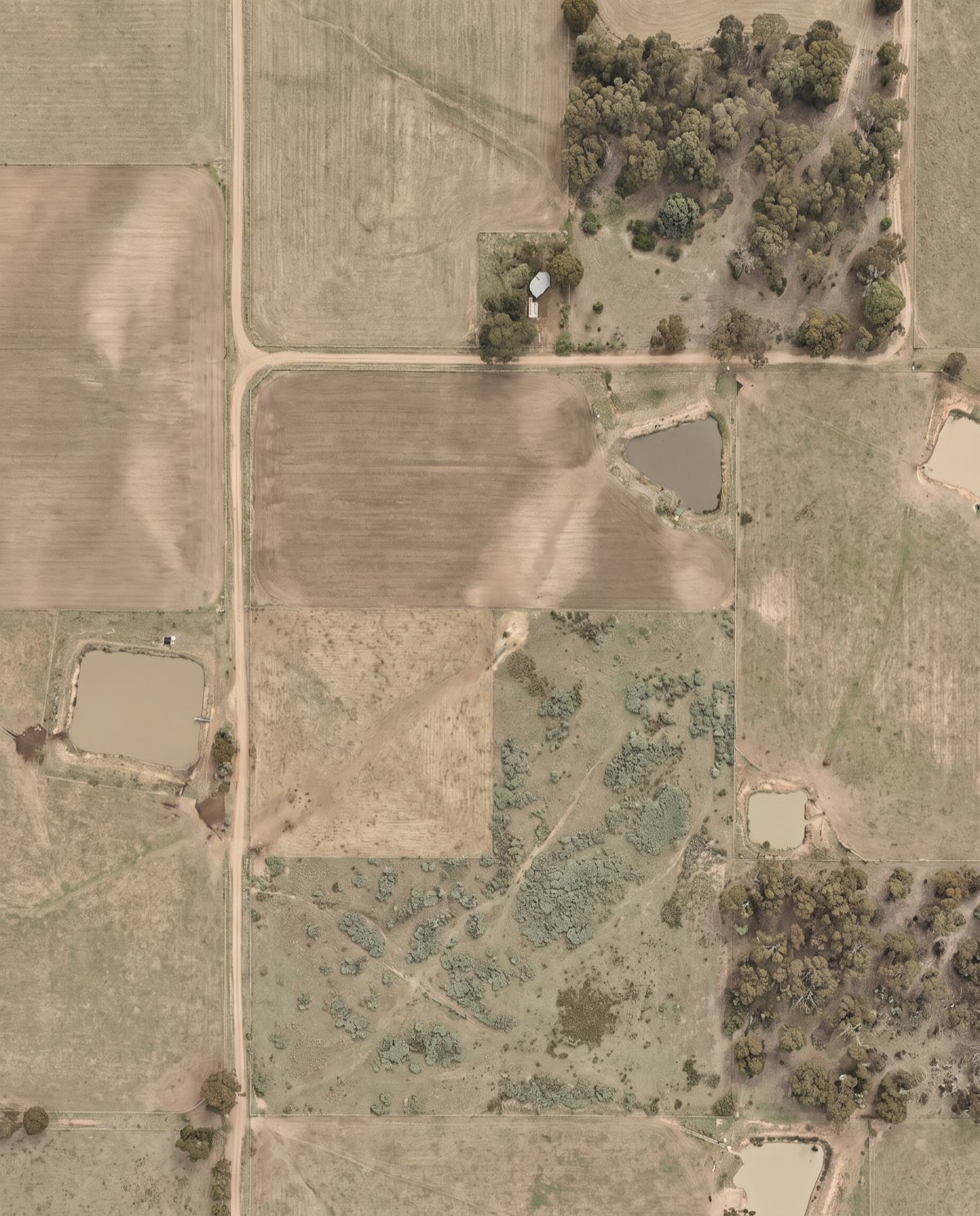 Orthomosaic Mapping Distortion-corrected, georeferenced aerial imagery you can measure directly — a true-to-scale base map of your entire site.
 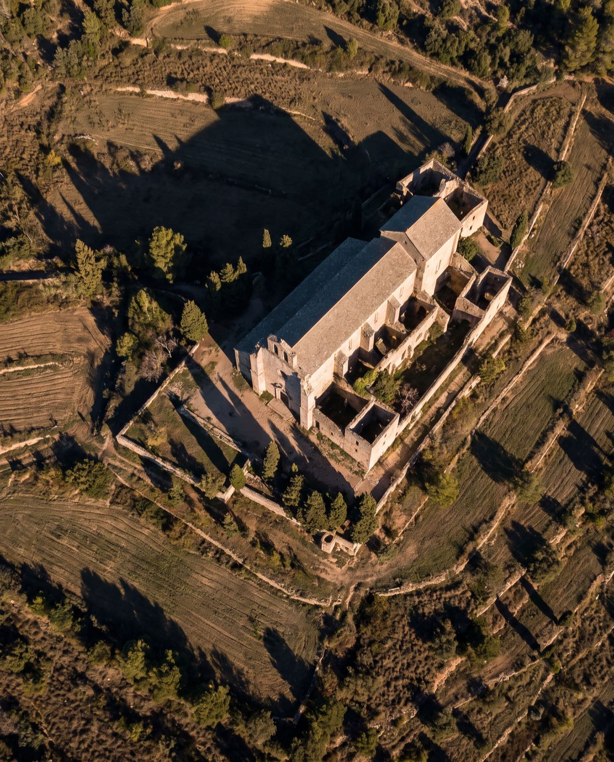 Drone 3D Modelling Photorealistic, measurable 3D models of buildings, sites and assets — built from aerial imagery for design, planning and visualisation.
 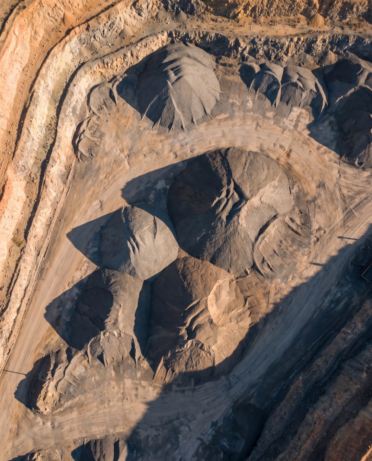 Volumetric Surveys Fast, repeatable volume measurement of stockpiles and earthworks — accurate cut-and-fill and inventory figures from a single flight.
 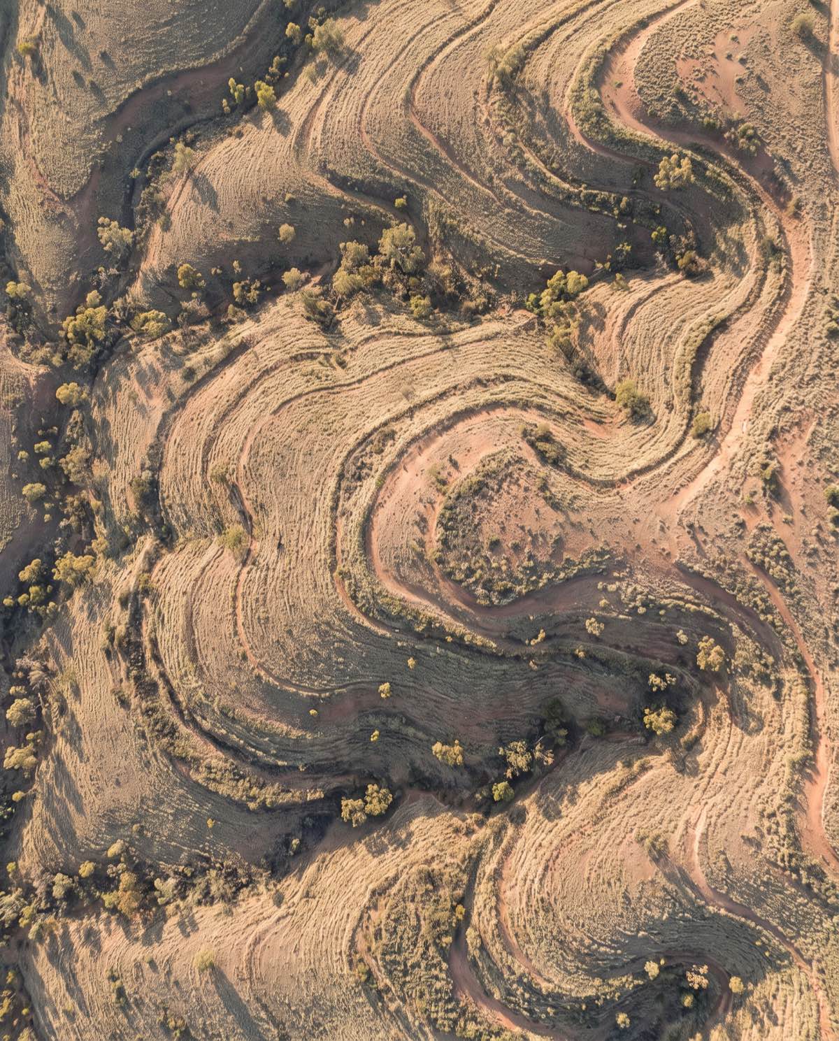 Topographic Surveys Detailed terrain and contour data across your whole site — the elevation model civil design and planning teams work from.
 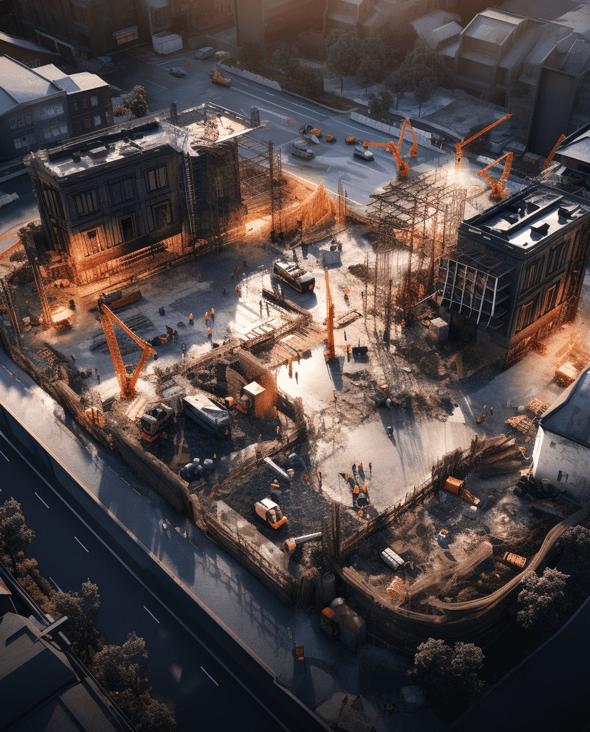 Construction Site Surveys Regular aerial site captures that track progress, measure earthworks and keep every stakeholder working from the same current data.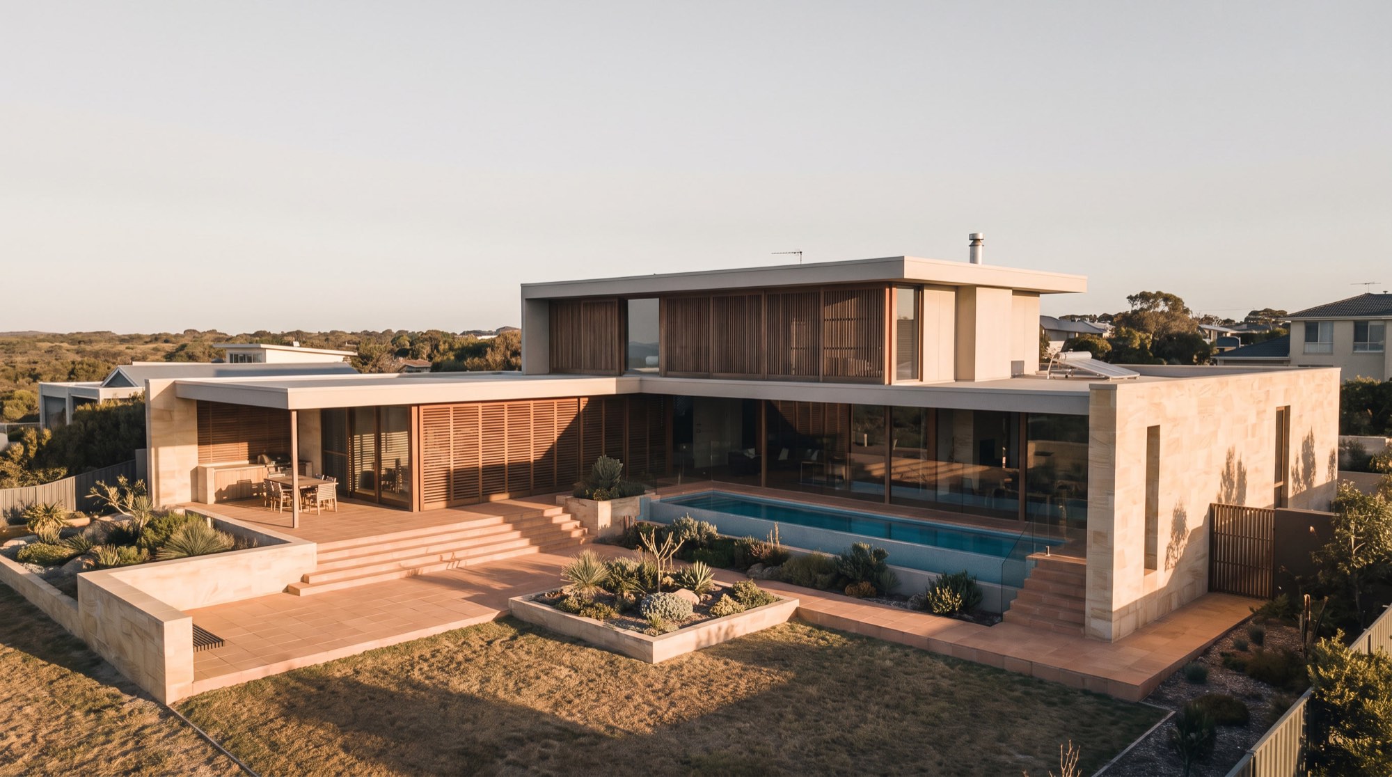
Ready to see your site from above?
Tell us the site and the job — we’ll confirm the flight plan, airspace and reporting window.