Drone Inspections
Drone Insurance Inspections
Dated, geotagged aerial documentation of property condition and damage that gives insurers and assessors clear, safe-to-capture evidence.
Document property condition and damage from the air
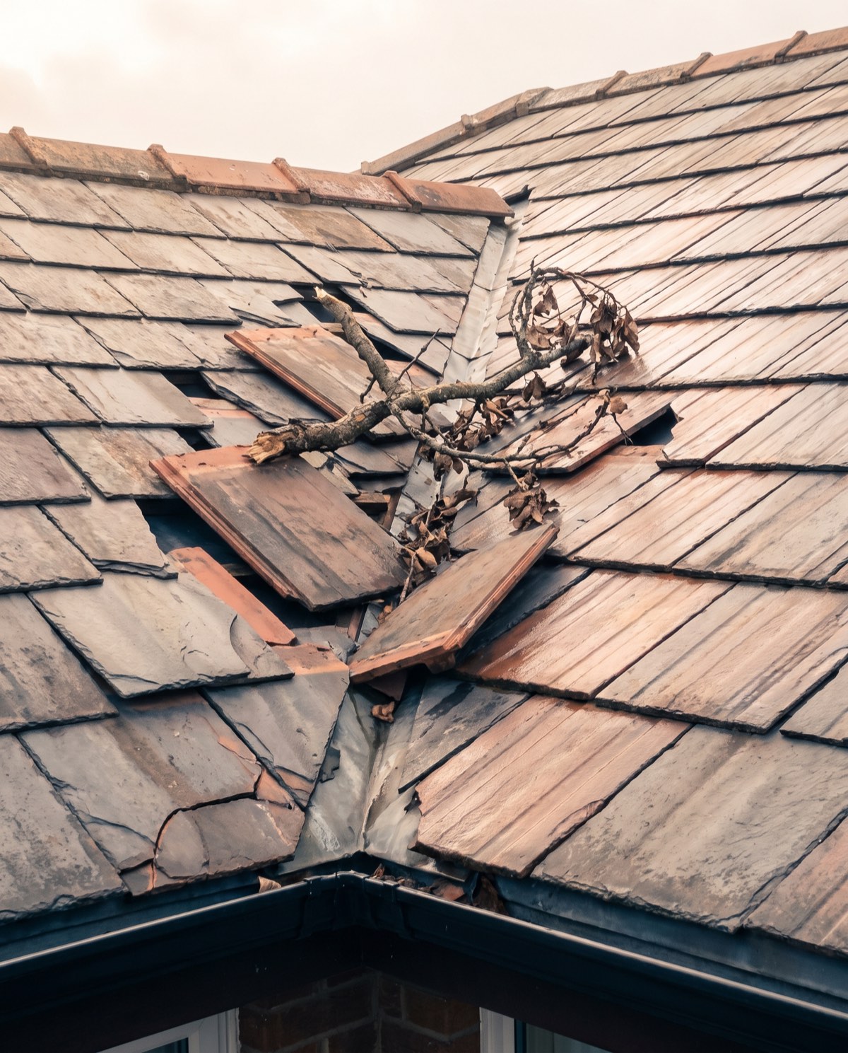
Drone insurance inspections capture clear, dated and geotagged evidence of a property’s condition — before, during or after an event — without sending an assessor onto a damaged roof or unstable structure. In a single flight we record high-resolution imagery of the whole site and the affected areas, giving insurers, assessors and property owners an objective visual record that’s fast to produce and safe to gather.
For claims and underwriting teams, that means quicker documentation, fewer access complications on compromised sites, and a consistent evidence set behind each file.
Who it’s for
- Insurers and underwriters documenting risk or verifying claims
- Loss adjusters and assessors gathering evidence on damaged property
- Strata managers and body corporates recording common-property condition
- Property owners and managers supporting a claim or pre-event baseline
- Restoration and building contractors scoping repair works
What’s captured and delivered
Every inspection produces a structured, time-stamped evidence set. Where heat or moisture is relevant to a claim — storm ingress, fire aftermath, hidden water damage — we add radiometric thermal imagery. You receive:
- Dated, geotagged high-resolution imagery of the site and damage
- A damage and condition documentation set
- Radiometric thermal imagery where relevant to the claim
- A location-tagged findings log
- An annotated PDF evidence report
- An orthomosaic site map for larger claims
Our imagery is provided as indicative aerial documentation — it records visible and, where captured, thermal anomalies for further assessment. It supports the work of loss adjusters, engineers and certified inspectors; it does not determine liability, settlement or compliance sign-off, and does not replace a certified structural or engineering assessment where one is required.
Our process
- Scope — you share the property, the event or claim context and what needs documenting.
- Site and airspace check — we confirm access, safety and the airspace over the property.
- Capture — a structured flight recording the whole site and the affected areas.
- Analysis — we organise the imagery into a dated, location-tagged evidence set.
- Reporting — an annotated PDF and findings log, typically within 3–5 business days.
Why it’s worth it
Aerial documentation speeds up claims by putting clear evidence in front of assessors sooner, removes working-at-height risk for personnel on damaged or unstable sites, and creates a consistent, repeatable record. Dated pre-event baseline imagery also supports underwriting and future comparison.
After a storm or fire, the sites most in need of documentation are often the least safe to walk. Capturing them from the air gets the evidence gathered while conditions are current, without waiting for a structure to be made safe for an assessor. And because every image is dated and geotagged, the resulting set stands up as a clear, orderly record — reducing back-and-forth on a file and giving all parties the same objective view of what was there and when.
Privacy and airspace
Aerial imagery can capture people and neighbouring property. We record only the agreed site, take reasonable care to avoid neighbouring private property, store footage securely and use it solely for the agreed purpose. Our CASA-certified pilots operate under CASA standard operating conditions, keeping a 30m separation from people not involved in the operation. Airspace near controlled zones and aerodromes is checked live for every booking, and flights in those areas are subject to CASA approval.
Book an insurance inspection
Need clear, dated evidence without putting an assessor at risk? Request a quote with the property and claim details, and we’ll confirm the flight plan and reporting window.
Flights are planned under CASA standard operating conditions. Work near controlled airspace or aerodromes is subject to CASA approval, checked per booking.
More in Drone Inspections
 Drone Roof Inspections Fast aerial roof condition surveys that replace ladders and rope access with high-resolution visual and thermal data.
 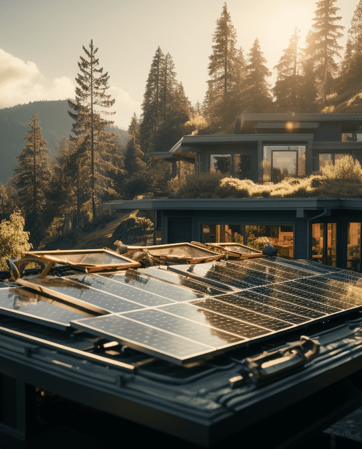 Drone Solar Panel Inspections Aerial thermal surveys that pinpoint underperforming modules and hot spots across solar arrays without manual panel-by-panel access.
 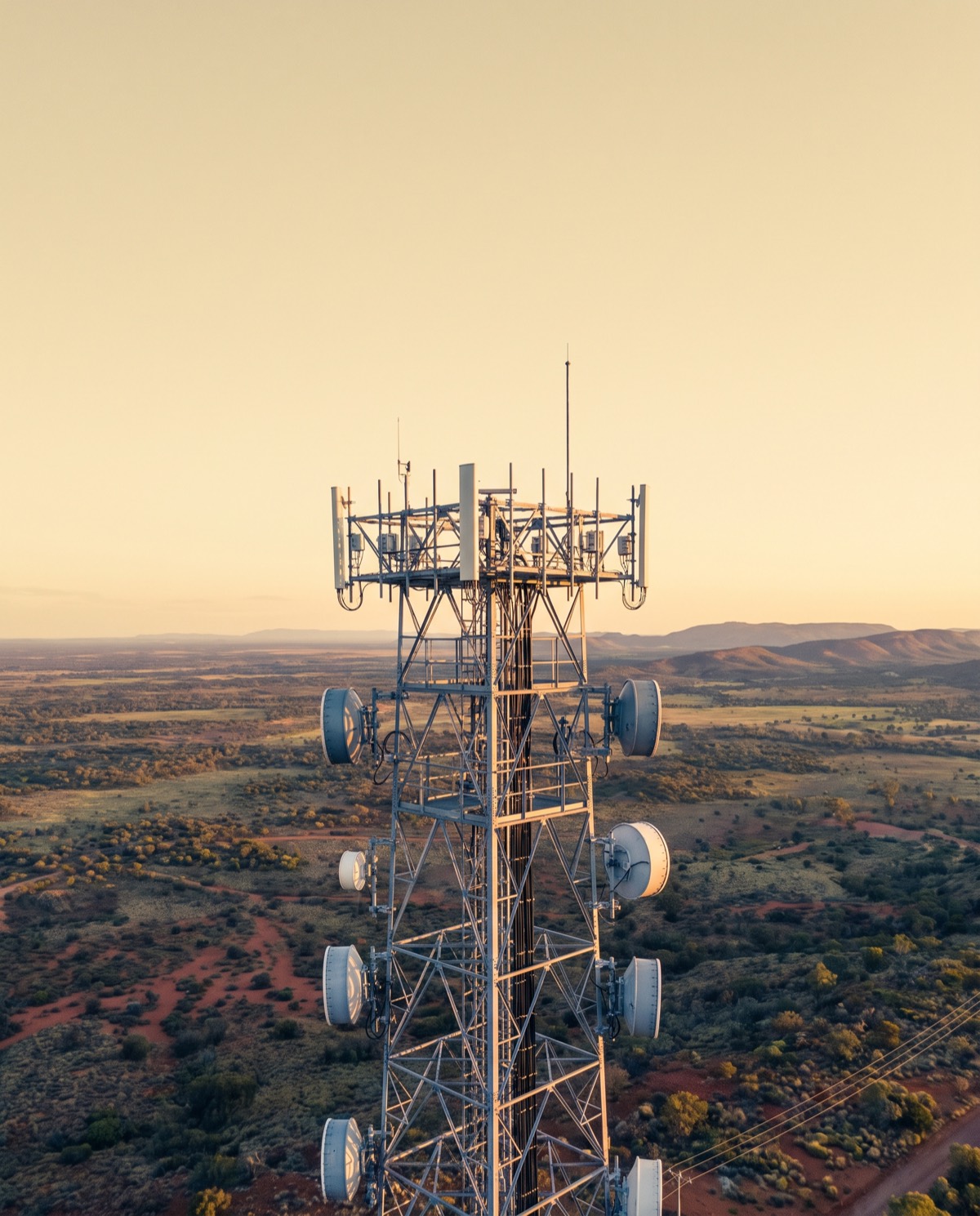 Drone Telecommunications Tower Inspections Close-range aerial surveys of towers, antennas and mounts that reduce rigger climbs and keep crews safely on the ground.
 Ready to book drone insurance inspections?
Tell us the site and the job — we’ll confirm the flight plan, airspace and reporting window.