Guides
Aerial Mapping vs Photography: Which Do You Need?
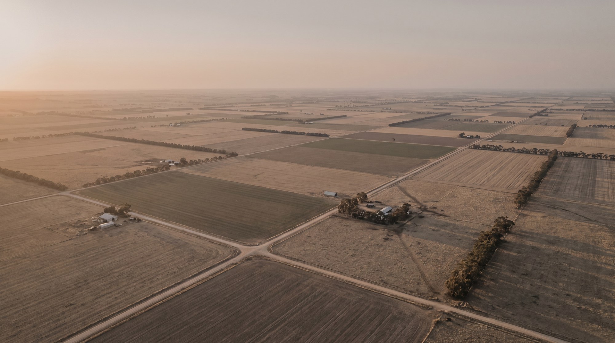
“Can you get me some drone shots of the site?” It’s one of the most common requests we get — and often, what the client actually needs isn’t photography at all. Both aerial photography and aerial mapping start with a drone in the air, but they deliver very different things. Choosing the right one saves you money and gets you data you can actually use.
Here’s how they compare, and how to tell which your project calls for.
Aerial photography: images for people
Aerial photography is about producing compelling images and video — a striking hero shot of a property, progress photos of a build, or marketing footage. The goal is how it looks. A skilled pilot frames the shot, the images are edited for colour and exposure, and you get a gallery of high-quality visuals.
What aerial photography doesn’t give you is measurement. A single aerial photo looks flat and true, but it isn’t corrected for lens distortion, terrain or camera angle, so you can’t reliably measure distances, areas or elevations from it. It’s a picture, not a data set.
Choose aerial photography when you need:
- Marketing and listing imagery
- Progress or documentation photos
- Visuals for a website, brochure or social media
- A general sense of a site, not precise measurements
Aerial mapping: data you can measure
Aerial mapping uses many overlapping images processed through photogrammetry to build measurable geospatial products — a scaled orthomosaic, elevation models, contours, point clouds and volumes. The output isn’t a photo you look at; it’s data you work with in CAD or GIS. You can measure distances and areas, model terrain, calculate earthworks and track change over time.
This is the world of aerial mapping, orthomosaic mapping, topographic surveys and volumetric surveys. Where accuracy matters, mapping flights use surveyed Ground Control Points so the data is properly positioned — centimetre-level accuracy is achievable on well-controlled sites, though the result always depends on the site, flight parameters and control used.
Choose aerial mapping when you need:
- Measurable, scaled site data for design or survey
- Contours, terrain models or a georeferenced base map
- Stockpile or earthworks volumes
- A record you can compare across time (progress tracking)
- Data that feeds into CAD, GIS or engineering workflows
A quick way to decide
Ask yourself one question: do you need to look at it, or measure from it?
- If the answer is look at it — for marketing, presentation or documentation — you want aerial photography.
- If the answer is measure from it — for design, quantities, survey or planning — you want aerial mapping.
Still not sure? Here’s a rule of thumb by project type:
- Selling or marketing a property → photography
- Designing earthworks, roads or drainage → topographic mapping
- Measuring stockpiles or cut-and-fill → volumetric survey
- Tracking a construction project over time → construction site surveys
- Recording a building or asset in 3D → 3D modelling
- A striking image for a report or brochure → photography
Can you get both from one flight?
Often, yes. A mapping flight captures high-resolution imagery, so it’s usually possible to pull attractive stills alongside the survey data — and a site captured for 3D modelling can produce both a measurable model and shareable visuals. The key is to decide the primary purpose first, because that drives how the flight is planned: mapping needs planned overlap and ground control, while photography is planned around light and composition.
Not sure which fits your project?
Tell us what you’re trying to achieve — sell a property, design a site, measure material, document a build — and we’ll point you to the right service rather than the most expensive one. Get in touch with a few details about your site and we’ll give you a straight recommendation.