Guides
Preparing Your Site for a Drone Inspection
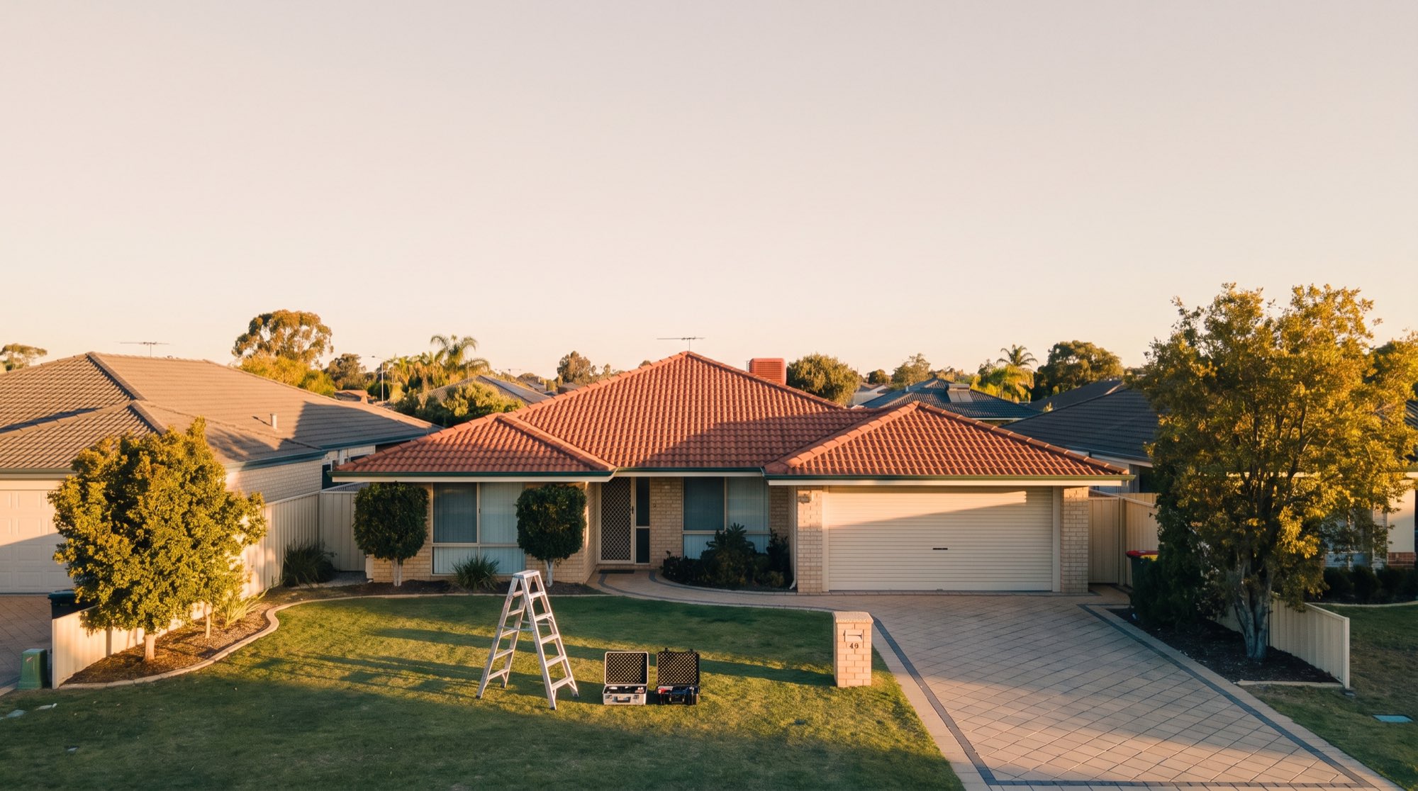
A drone survey or inspection is quick on the day — but the quality of the result depends a lot on what happens before we arrive. A well-prepared site means a smoother flight, safer conditions and cleaner data. This checklist walks through the practical things you can do to get your site ready, whether it’s a construction site, a quarry, acreage or a single building.
Before the day: information and access
The more we know up front, the better we can plan the flight and any approvals.
- Confirm the exact location and boundaries. An address, site plan or map of the area you want captured helps us scope the flight and check the airspace.
- Flag any airspace or access constraints. If the site is near an airport, aerodrome or a sensitive facility, let us know early — flights near controlled airspace are subject to CASA approval and need lead time.
- Tell us the purpose. Whether you need aerial mapping, a topographic survey, volumetric survey or a progress capture changes how we plan overlap, control and altitude.
- Provide site contacts. A name and number for someone on site on the day avoids delays at the gate.
- Share any site inductions or PPE requirements. Many construction and mining sites require an induction before access — let us know what’s needed.
Ground control and coordinate systems
If your project needs measurable, well-positioned data, Ground Control Points (GCPs) are what tie the survey to real-world coordinates.
- Confirm your coordinate system and datum (for example GDA2020 and the relevant MGA zone) so the deliverables drop straight into your workflow.
- Share any existing survey marks or control on site — we can tie into them.
- Allow access for GCP placement. We place and survey control targets across the site before flying; on larger jobs this takes time, so factor it in.
Accuracy always depends on the site, flight parameters and the quality and distribution of control — good GCPs are the single biggest thing you can enable to get accurate data.
Prepare the site surface
What’s on the ground affects what the drone can capture.
- Clear what you can. For volume and earthworks work, tidy stockpiles and remove vehicles or equipment sitting on or against material where practical, so piles can be measured cleanly.
- Note recent changes. If earthworks or deliveries have altered the site since the last capture, let us know so we can interpret the comparison correctly.
- Manage vegetation expectations. Dense trees and tall grass limit bare-earth capture on topographic jobs — we can still fly, but it’s worth knowing where vegetation will affect the ground model.
- Mark hazards. Overhead powerlines, cables, tall antennas and cranes are important for flight safety — point them out in advance.
On the day: safety and conditions
A few things help the flight run safely and on schedule.
- Keep people clear of the flight area. CASA standard operating conditions require the drone to stay a safe distance from people not involved in the operation, so we’ll agree an exclusion area with you.
- Pause conflicting activity if needed. On active sites, we may briefly coordinate around cranes, blasting, or other aircraft movements.
- Check the weather. Strong wind, rain and poor light can delay or reduce the quality of a flight. We monitor conditions and may reschedule if it’s unsafe or won’t produce good data — we’d rather move the day than deliver a poor result.
- Have your induction ready. If we need to sign in or complete a site induction, having that organised keeps things moving.
A quick pre-flight checklist
- Location, boundaries and site plan shared
- Airspace or access constraints flagged
- Purpose and required deliverables confirmed
- Coordinate system and any existing control provided
- Access arranged for GCP placement
- Site tidied where practical for the survey type
- Overhead and site hazards identified
- Site contact and induction requirements confirmed
- Exclusion area for people agreed
We’ll guide you through it
You don’t need to work through all of this alone — when we scope your job, we’ll tell you exactly what your site and survey type need. Flights near controlled airspace remain subject to CASA approval, and we’ll confirm what’s achievable at your location before we lock in a date.
Ready to book a survey or inspection? Get in touch with your site details and we’ll send through a tailored prep list and a plan for the day.